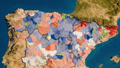
Spaniards are bracing for an unexpected winter scenario: an Arctic front is approaching the country, set to bring not only a sudden drop in temperatures but also snowfall in regions where it’s rarely seen in November. After a week of heavy rains caused by Cyclone Claudia, the weather is once again shifting—this time, bringing frost and snow.
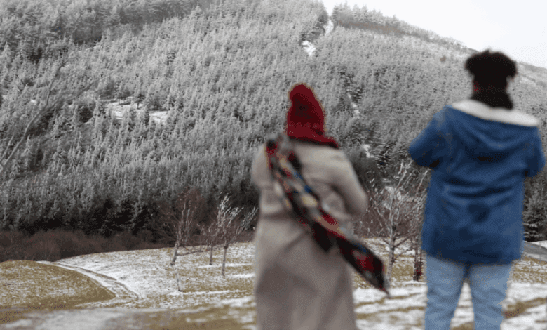
At the start of the week, precipitation will hit the Cantabrian coast as well as western and southern regions. By midweek, temperatures will drop sharply, and in some areas, snow may even fall at sea level or just above. Residents of the northern provinces will especially feel the change, with intense and unexpected snowfalls likely.
This abrupt change in weather is due to the intrusion of Arctic maritime air. As this air mass moves over relatively warm waters, it absorbs moisture and energy, leading to the formation of powerful vertical clouds. When the flow hits land or mountains, it triggers rapid and heavy snowfall—a phenomenon known as the lake effect. Usually common in North America, this week it will be seen in Spain as well.
Meteorologists warn that in the coming days, snow cover may appear even in places where it hasn’t been seen for years. In cities like Santander and Bilbao, snow is expected at altitudes from 500 to 700 meters, and in some areas, even lower. Residents of northern provinces are already stocking up on warm clothes and preparing for possible disruptions on the roads. However, for winter sports enthusiasts and those who appreciate a true winter, this is great news—the season is starting earlier than usual.