A year has passed since the devastating DANA, which in October 2024 became the largest natural disaster to hit Spain in decades. In a matter of hours, the storm wiped out entire towns, flooded homes, shops, parking lots, and streets, with the death toll and number of missing reaching into the hundreds. This tragedy exposed just how vulnerable many regions are to extreme rainfall—and underscored the urgent need to prepare for such events in advance.
Today, residents of Málaga are once again on edge: after several days of heavy rain, red weather alerts have been issued for the Costa del Sol and the Guadalhorce Valley. Authorities are forced to close roads, monitor river and stream levels, and activate emergency response plans. The question of whether last year’s tragedy could have been avoided—and whether a repeat can be prevented—has become more pressing than ever.
Risk analysis tool
It turns out that information about flood risks in several areas had been available well before the disaster struck. For more than ten years, Spain has had the Sistema Nacional de Cartografía de Zonas Inundables (SNCZI)—the National Flood Zone Mapping System—developed by the Ministry for the Ecological Transition and Demographic Challenge. This system identifies areas that could end up underwater if river or sea levels suddenly rise.
In 2025, SNCZI underwent a major update: the maps now cover an additional 500 kilometers along all of the country’s river basins. This makes it easier to analyze threats and ensures more accurate data. The interactive maps highlight areas at risk of flooding and offer scenarios for how events could develop under different weather conditions. However, the absence of a mark on the map does not guarantee complete safety: some areas have not yet been thoroughly studied.
How to use the maps
The SNCZI system is open to everyone. Any resident or specialist can visit the dedicated website and select the information they need. There are three main sections: data about dams and reservoirs, information on state-managed flood-prone areas, and details on hydropower resource utilization.
To find out how dangerous a particular river or location is, simply enter its name or coordinates. The system will display a map with highlighted risk zones, as well as the nearest roads and infrastructure facilities. In the “add services” section, you can enable additional layers, such as flood hazard maps for rivers and the sea, or the results of hydrological studies.
What the maps show
SNCZI maps consist of two main components. The first is the so-called hazard maps, which show potential flood scenarios against the backdrop of terrain and urban infrastructure. These maps are created using complex hydrological models that calculate how much water can flow through riverbeds under specific conditions. The second component provides land use information: residential neighborhoods, industrial zones, and agricultural land. This helps assess the level of risk to people and property.
A key feature: the maps are built according to European standards and are updated regularly. If data for a certain area is not yet available, it does not mean there is no danger—research may simply be planned for the future. Residents are advised to keep track of updates and not ignore official warnings.
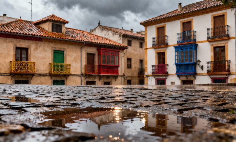
Malaga at risk
In recent days, Malaga has once again drawn attention due to heavy rains. In some areas, roads have already been closed, and water levels in rivers and streams continue to rise. Local authorities have activated emergency protocols, and rescue services are working in intensified mode. Residents are advised to review flood zone maps in advance and be prepared for evacuation if necessary.
The use of SNCZI is becoming an increasingly vital tool for preventing new tragedies. The system not only helps assess risks but also aids in planning land development, constructing protective structures, and developing evacuation routes. With climate change and more frequent extreme weather events, such technologies are essential for the safety of cities and towns.