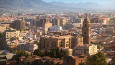
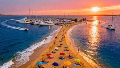
On the sunny Andalusian coast, there is a remarkable walking section that forms part of the extensive GR-249 network, also known as the Gran Senda. This is its fourth stage, offering an easy and short outing, perfect for getting to know the area without strenuous effort. The linear route stretches for about eight kilometers, running parallel to the busy N-340 national road. You can complete it in a couple of hours at a leisurely pace, without needing special training. The surface of the path constantly changes, which adds interest: smooth asphalt gives way to springy dirt trails and then to well-maintained promenades. This variety makes the journey engaging and far from monotonous. The entire route heads east, accompanied by the soothing sound of the waves, striking the perfect balance between unspoiled nature and the comforts of civilization.
Historical origins and first steps
The starting point is at the lighthouse in Torrox, which rises majestically on the site of the ancient Roman settlement of Cavilaum. This place immediately immerses you in the rich history of the area, letting you connect with the past even before you begin your walk. After crossing the wide bed of the river of the same name—which can be either dry or full depending on the season—the path descends to the golden sands of Peñoncillo. Almost immediately, it begins to climb upwards, rising above sea level. The trail runs along cliffs and man-made breakwaters, constantly offering breathtaking views of the endless blue expanse. About halfway, travelers are greeted by the charming Masagarrobo cove, sheltered from the winds, and the old Calaceite watchtower, a silent witness to pirate raids of the past.
The heart of the route: cliffs and towers
Soon after, the path touches the shore again at Vilches and climbs to its highest point—the Macaca tower, a natural balcony overlooking a sheer cliff that gives this stretch its rugged yet beautiful character. From here, the view compels you to stop and simply breathe in the salty air. Waves crash below, while the jagged coastline stretches ahead. This is the highlight of the entire promenade, offering a sense of flight and unity with the elements. The descent towards Nerja makes each step lighter, leading through well-maintained residential areas to the crossing with the dried-up Seco stream. Next comes the long sandy strip of Playaso, where the compacted sand allows for a comfortable walk past old gardens and small boat stations.
The final stretch and practical tips
This stage ends at the mouth of the Chíllar River, which serves as a natural gateway to the inland mountain trails and anticipates the lively waterfront of the final settlement. Just nearby, from the Torrecilla viewpoint, you can take in the entire route you’ve covered and fully experience the spirit of this place: blue waters, bright light, and a coastline dotted with watchtowers and small coves. Keep in mind that despite being accessible for family outings, some sections require walking along the roadside where there is vehicle traffic. This is especially true in the Peñoncillo and Playazo areas. You may also need to ford the Chíllar River. Otherwise, navigation is very easy thanks to the GR-249 markers, which not only help you stay on track but also better understand the landscape: slate hills, remnants of ancient agricultural terraces, and a whole scattering of sandy stretches ideal for short breaks. If you’re looking for a short, well-organized walk with constant visual rewards, this segment of the Great Path is a perfect choice.