
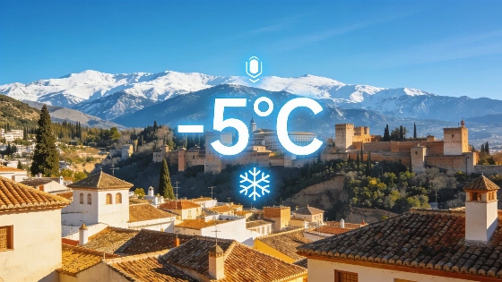
AEMET’s yellow alert for coastal weather hazards covers several provincial areas this Saturday, but not Granada. The city is instead set for clear skies and a marked drop in temperatures, with lows of 17°C and highs of 32°C. The maximum perceived temperature could reach 33°C, while light westerly breezes are expected throughout the day. AEMET’s Meteoalerta system issues warnings for specific areas, including provinces and, where appropriate, coastal or maritime zones. Its information covers up to 72 hours and is updated as conditions evolve.
On Sunday, forecasts point to another day of bright, cloudless weather. Temperatures will rise slightly, with the minimum around 16°C and the minimum perceived temperature near 17°C. Winds will be very light and shift to the southwest, bringing little relief from the sun without causing impressive discomfort. Forecasts describe expected conditions. AEMET also publishes a separate observation service that records hourly measurements, daily extremes and precipitation totals.
Monday is expected to extend the run of stable, dry conditions. No rainfall is anticipated, and skies should remain clear throughout the day. Temperatures will range from 18°C in the early morning to a maximum of 36°C in the afternoon. Winds will stay gentle and southwesterly, posing no concern for residents or visitors.
Elsewhere in the province, Motril will also see uninterrupted sunshine and stable weather, with minimum temperatures forecast at 23°C and highs of 32°C. In Málaga, clear skies will dominate, with minimum temperatures below 23°C and highs reaching 36°C. AEMET data also points to similar stable, sunny weather in other municipalities, including Linares, Almería, Benalmádena, Oria, Níjar, Ceuta, Alicante, Las Palmas de Gran Canaria, Lleida, Madrid, Las Rozas de Madrid, Brunete, A Coruña and Gandia. Conditions can differ across municipalities and elevations. For example, AEMET’s Granada Airport climatological station is in Chauchina at 560 metres above sea level, so its readings represent the airport area rather than every part of Granada city or the wider province.
These forecasts are provisional and may change as new information becomes available. The current outlook contrasts with recent spells of severe weather in Spain, including storms and hail that threatened the southeast and prompted official warnings. For context on how quickly conditions can shift in the region, see the report on recent severe storms and hail impacting southeast Spain.
AEMET monitors weather in Granada and regularly issues alerts and updates for the region. The yellow alert for coastal phenomena does not affect Granada city this time, reflecting how weather patterns vary across Andalusia. Meteoalerta distinguishes forecast warnings from observed conditions, while AEMET’s station records document measured weather over time. The city’s current forecast of cooler, stable conditions is typical of early summer transitions, when inland areas often see temperature fluctuations as Atlantic and Mediterranean influences interact. Residents and visitors are advised to follow official channels because conditions can change rapidly, especially in southern Spain’s diverse microclimates.