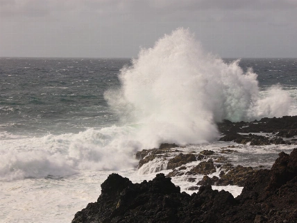
Up to 100mm of rain could fall in 12 hours on La Palma’s eastern slopes and summit areas. Across the island, rainfall could reach 30mm in one hour, increasing the risk of rising water in ravines and flooding downstream. AEMET’s wider forecast for Storm Charles put possible totals at 80–120 litres per square metre on La Palma and Tenerife, with locally higher amounts reported in the broader forecast coverage. The figures are forecast amounts, not measurements of rainfall already recorded.
The Government of the Canary Islands has set an alert for flood risk on La Palma from 12:30 on Wednesday 11 November. The Directorate General for Emergencies says the decision is based on information from the Agencia Estatal de Meteorología and other available sources, under the Plan Especial de Protección Civil y Atención de Emergencias por Riesgo de Inundaciones de la comunidad autónoma de Canarias (PEINCA). Diario de Avisos reported that the PEINCA pre-alert phase was due to begin at 00:00 and that the regional government had set a rain alert for La Palma from 03:00; it also reported plans to send an ES-Alert emergency message to mobile phones.
A frontal system is expected to move from the north-west towards the south-east, affecting La Palma first. Intense rain could last for about two hours before easing gradually, although lighter showers may continue. The rainfall already recorded, combined with further expected precipitation, could increase runoff and water levels in ravines. On 11 November, AEMET also warned of strong winds across the Canary Islands, with La Palma and Tenerife’s summits facing especially adverse conditions; separate reporting said winds exceeding 130 kilometres per hour were possible on La Palma.
Authorities are paying particular attention to the Caldera de Taburiente basin and the Barranco de Las Angustias. Their flows could affect the lower reaches and mouth of the ravine in the municipality of Tazacorte. The Olive Press reported maximum-level warnings on La Palma and identified the Barranco de Las Angustias among areas affected by Storm Charles; residents in Santa Cruz de La Palma described conditions as brutal. The island has also featured in coverage of an island biodiversity programme.
The rest of the archipelago remains at pre-alert. Rainfall could reach 15mm in one hour as the front moves on; showers may continue into Thursday morning on the eastern islands, with storms possible. El Hierro and La Gomera remain at that level, as does Tenerife. Gran Canaria and Fuerteventura are also on pre-alert. The same status applies to Lanzarote.
The emergency guidance calls for extra vigilance in flood-prone areas, particularly near ravines and river outlets where water may accumulate. The public is advised to avoid unnecessary journeys through areas at risk and never to cross a ravine or watercourse carrying water. Authorities also advised people to stay away from flooded roads and from slopes or embankments that have become unstable. Residents are urged to follow instructions and self-protection advice from the authorities, including the Directorate General for Emergencies and emergency services.