Geologists from the United States have, for the first time, presented a detailed map of vast river basins that once crossed the surface of Mars. According to the researchers, these ancient water systems may be the most promising locations to search for signs of life on the Red Planet. Billions of years ago, long before Mars became a frozen desert, its landscape was shaped by powerful water flows. Traces of these processes are still visible today in the form of dried riverbeds, deep valleys, and canyons crisscrossing the Martian plains.
For a long time, scientists knew about the existence of thousands of dried-up rivers but couldn’t determine how they were connected. It remained unclear whether Mars had major river systems similar to those that support Earth’s richest ecosystems. Now, thanks to analyses of data from NASA’s orbital missions, researchers have been able to reconstruct the structure of these water networks and discover how they merged into large-scale basins.
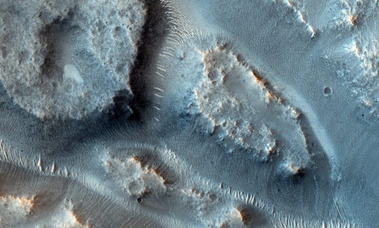
Martian rivers
In their research, the scientists used archived maps of valleys, lake basins, and outlet canyons, as well as topographic data collected over decades of observation. Images from the Mars Odyssey spacecraft, which covered more than 90% of the planet’s surface, proved especially important. By comparing this information, the scientists traced how individual features of the ancient landscape combined into a single system.
In regions where river traces were destroyed by meteorite impacts or erosion, researchers reconstructed their probable courses based on terrain features and the orientation of neighboring valleys. This approach not only refined the map of Martian water bodies but also highlighted key basins that played a significant role in the planet’s geological history.
Giant basins
As a result of the analysis, scientists identified 16 of the largest river basins, each covering an area of at least 100,000 square kilometers. Together, these systems spanned about 4 million square kilometers—roughly 5% of ancient Mars’s surface. Researchers note that this figure may be underestimated, since many traces of water activity have been erased by time and wind.
Unlike Earth, where tectonic processes form mountains and basins that direct water flow, Mars lacked such mechanisms. As a result, the number of major basins was significantly lower—just 16 compared to approximately 91 on our planet. Nevertheless, these areas could have served as ‘arteries’ for transporting nutrients and possible signs of life across great distances.
Potential for life
The study found that these 16 basins carried almost half of all the sediment ever transported by Martian rivers. One of them, which feeds the largest canyon Ma’adim Vallis, accounted for about 15% of the total volume. On Earth, such large river systems are considered biodiversity hotspots, where water passing through various rocks creates a rich chemical environment.
Scientists believe that on Mars, these giant basins could have served a similar role. If life ever emerged on the Red Planet, traces of it may have been preserved here. Prolonged interaction between water and rocks increased the likelihood of complex chemical reactions that could have led to the formation of organic compounds.
Plans for the future
The newly created map of megabasins could become a crucial tool for future Mars expeditions. It will help identify the most promising areas to search for chemical traces of life and collect soil samples. According to the study’s authors, these zones should be a top priority for upcoming missions seeking evidence of past life.
“The longer the water’s path, the greater the chance for complex chemical processes that could leave traces of life,” the researchers note. Now, scientists have a detailed map that will help them better plan rover routes and tasks for automated stations.
In case you didn’t know, the University of Texas at Austin is one of the leading research centers in the United States, actively involved in studying Mars and other planets in the Solar System. Its labs are home to experts in geology, planetary science, and remote sensing, who regularly publish their discoveries in prominent scientific journals. In recent years, the university has become one of NASA’s key partners in projects focused on exploring the Red Planet.