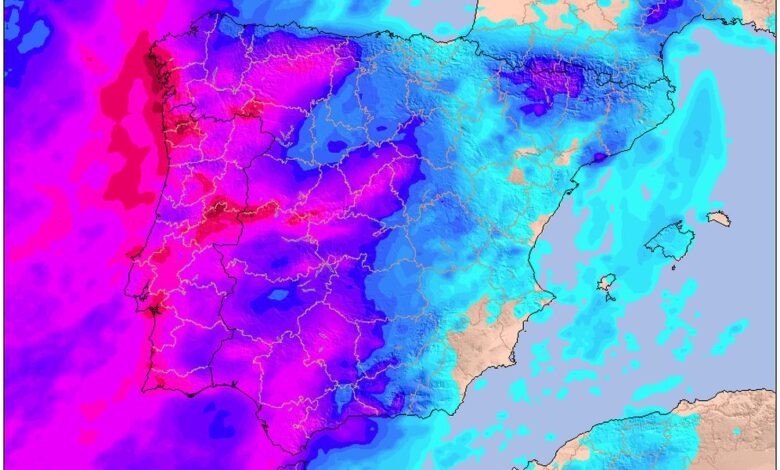
Spanish meteorologists are warning that storm ‘Claudia’ is approaching the country, bringing heavy rain, gale-force winds, and dangerous coastal conditions. The situation is expected to be especially challenging in the Canary Islands, where weather alerts for adverse conditions have already been issued.
Residents of the western islands—La Palma, La Gomera, El Hierro, and Tenerife—are bracing for the worst. Forecasts predict torrential rain, thunderstorms, wind gusts of up to 80 km/h, and high waves. In some areas, up to 100 liters of rain per square meter may fall in just half a day, posing a risk of flash floods and landslides. Gran Canaria is also at risk due to rough sea conditions.
Authorities are advising both residents and tourists to avoid walking along promenades and to stay away from the water. The storm is expected to affect not only the islands: by midweek, the front will reach the mainland.
Where the storm is expected to hit
On the mainland, Galicia’s regions—A Coruña, Pontevedra, and Ourense—will be the first to be impacted. There are weather warnings for heavy rain and gale-force winds, and an orange alert for waves over five meters high along the coast. All of Galicia, as well as Asturias and Cantabria, are preparing for strong gusts that could bring down trees and damage power lines.
Prolonged rainfall and strong southerly winds are expected along the Cantabrian coast, potentially causing flooding and landslides. Emergency services are advising drivers to exercise extra caution on the roads, and residents to check their drainage systems and secure items on balconies.
Forecast for the coming days
On Thursday, the cyclone will continue moving eastward, affecting the central Canary Islands and the western part of the Iberian Peninsula. Prolonged rain and strong gusts of wind are possible in the mountains of Andalucía, Castilla y León, and Extremadura. The storm on the Galician coast will persist, with waves reaching five meters, posing a danger for fishermen and sea-goers.
Authorities strongly recommend keeping up-to-date with the latest forecasts, avoiding unnecessary trips outside, and taking caution on the roads. Special attention is advised for coastal residents and those planning sea outings: conditions can change rapidly.
Safety recommendations
With severe weather approaching, it is advised to prepare in advance: remove or secure any loose objects from balconies and rooftops, postpone travel if possible, and monitor weather updates closely. If conditions deteriorate, do not take risks and stay in safe locations.