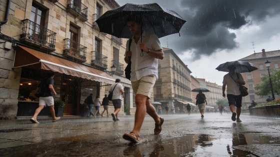
Spain is set for a sharp weather shift this weekend as a strong cold front, accompanied by a mass of cooler air, moves in from the northwest. After a week of stable conditions and rising temperatures, the system will bring the heat to a rapid end, with storms and showers forecast across much of the country. The change should become most noticeable from Friday, as the front intensifies and spreads across the peninsula through Monday. AEMET attributes the change in the north to Atlantic storm Austen and its associated fronts, which are expected to bring cloud and rain from the northwest.
The first signs of instability are forecast for Thursday, when clouds are likely to build over the eastern third of the country, particularly around major mountain ranges. By Friday, conditions will deteriorate further. Light rain is expected in the Cantabrian area, while showers and thunderstorms should develop across large parts of northern and eastern Spain during the afternoon. The most intense storms are forecast for northern Aragón and the interior of the Valencian Community. This pattern is expected to continue into the weekend. Saturday could bring the heaviest downpours, especially in northern Catalonia and Aragón. On Sunday, storms are forecast to shift toward Aragón and Catalonia, with eastern Castilla y León also in their path. They may also reach the northeast of Castilla-La Mancha. AEMET’s outlook names Galicia and the Cantabrian coast among the areas at risk of rain, along with the Pyrenees. Showers are also possible in northeastern Catalonia and the northern Balearic Islands.
The temperature drop will be another feature of the change. Cooling will begin on Friday, mainly in the north, and extend to parts of the Atlantic side and eastern interior. Despite the approaching front, Friday will remain hot in many areas, with temperatures still exceeding 35 to 37ºC across much of the interior and the Balearic Islands. Some locations in the Guadalquivir valley, and at times in the Ebro and Guadiana valleys, may even reach 40ºC. Saturday is expected to bring the sharpest falls, with drops of 6 to 8ºC possible along the Cantabrian coast and in the Pyrenees, as well as in the north of the Iberian System. In some interior and northern areas, temperatures could fall by more than 10ºC over the weekend. On Saturday, temperatures are expected to exceed 35 to 37ºC only in the south and east, along with the Balearic Islands. The areas include Extremadura and Madrid, western Castilla-La Mancha and Andalucía, Murcia and inland Catalonia, as well as Mallorca and parts of the Valencian interior and mid-Ebro. By Sunday, further cooling is forecast across most regions except the northwest, making it the coolest day of the week. Temperatures above 35ºC are likely only in the valleys of Extremadura and Castilla-La Mancha, those of Andalucía, and Mallorca.
Wind and sea conditions are also expected to worsen along exposed stretches of the northern and northeastern coasts. Forecasts based on AEMET data identify the northern Galicia coast and the Cantabrian coast as areas at risk of very strong gusts. The Ampurdán and exposed parts of the lower Ebro are also at risk. Atlantic and Cantabrian waters could become particularly rough, with waves reaching up to 8 metres in affected areas. That adds a marine hazard to the rain and temperature changes.
This abrupt change follows a spell of stable, hot weather that coincided with the recent solar eclipse. A related report on eclipse viewing conditions notes that cloud cover has already played a role in recent weather events, a reminder of spring’s unpredictability in Spain.
In April, Spain’s climate often shifts quickly between warm, dry spells and sudden Atlantic fronts. Within days, those changes can bring heavy rain or hail, along with sharp temperature swings. Aragón and Catalonia, along with Castilla y León and Castilla-La Mancha, are the regions expected to be most affected by this weekend’s front. They are accustomed to springtime instability, but the forecast storms’ intensity and the speed of the temperature drop stand out. Residents and travelers are advised to monitor local forecasts and take precautions, especially in areas prone to flash flooding or severe thunderstorms. AEMET issues weather warnings for hazardous conditions, while local authorities may activate emergency protocols if the situation worsens.