
DANA Adam is expected to fade as high pressure brings steadier conditions to many parts of Spain. Mario Picazo says up to three Atlantic fronts could still bring rain to the north, with another forecast for Thursday or Friday.
After recent highs close to 35C in parts of Seville, autumn conditions have taken hold following DANA Adam’s passage. The storm brought unsettled weather to eastern Spain and the Balearic Islands on 19 and 20 October, but its influence is expected to ease. Atlantic systems could keep northern Spain unsettled through the week, according to meteorologist Mario Picazo of eltiempo.es. AEMET representative Rubén del Campo said storms linked to DANA Adam could continue until Wednesday.
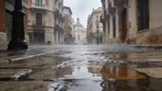
Rain may persist around the Mediterranean, particularly in the Valencian Community, Catalonia and the Balearic Islands. On 20 October, AEMET had an orange warning in force in the Balearics for heavy rain and thunderstorms, while locally very intense rainfall was forecast in Catalonia. Instability is easing in the east. An anticyclone is forecast to bring gradually more settled conditions to many regions.
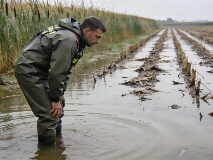
The recent impact of DANA Adam in Forna was covered in a separate report. Avamet’s accumulated rainfall measurements for the 48 hours from 17 October to 10am on 19 October recorded 720 litres per square metre in Forna and 693 in Pego. The remaining risk in the east includes showers in Catalonia and the north of the Valencian Community, as well as the Balearic Islands. AEMET also forecast strong westerly winds in coastal and inland eastern areas, strong tramontane winds around Ampurdán and snow at high elevations in the Pyrenees.
Showers and thunderstorms may continue on Tuesday. Calmer weather is expected to set in from Wednesday as cold air higher in the atmosphere loses influence. AEMET forecast that any further eastern showers would be more local and limited than during the main DANA episode. Maximum temperatures could recover slightly in areas where the storm brought a sharper drop, although AEMET expected daytime highs to fall in the Balearics, Galicia and the southwest. Inland nights may feel cool under clearer skies, with weak frosts forecast in mountains in the far north.
The main rainfall risk then shifts north. Picazo forecasts up to three Atlantic fronts, with rain most likely in Galicia. Showers may also affect Asturias, Cantabria and the Basque Country, while northern Navarra and the Pyrenees could see more irregular rainfall. AEMET’s outlook for Wednesday also included rain in Cantabrian regions and mountain areas of the Canary Islands. Most of the rest of Spain was expected to remain mainly settled.
A second front is expected between Thursday and Friday, potentially bringing rain back to the northwest and the Cantabrian coast. Galicia’s Atlantic-facing areas and mountains could have a higher chance of precipitation. A low-pressure area west of Ireland and an approaching cold front were expected to bring increasing cloud and rain to Galicia after unusually settled weather. Before the front, inland parts of the region had recorded temperatures as low as −5.4C. Cloud is forecast to increase in Castilla y León, though significant rain there is less likely. AEMET expected Thursday’s rain to be concentrated mainly in Galicia and the highest Canary Islands.
The third front may arrive at the weekend, but its strength and path remain uncertain. High pressure could weaken it. Current forecasts point to rain in the far north and drier, more stable weather elsewhere. Daytime temperatures may rise slightly in the south and southwest, while highs are forecast to increase across much of the country, particularly on the eastern coast and in the northeastern interior.
In the Canary Islands, trade winds are expected to bring cloud to the north of the higher islands, with a chance of light rain. Clear spells are forecast on their southern slopes.