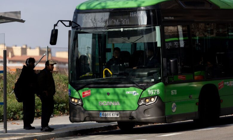
Madrid residents who rely on buses for daily commutes have received a long-awaited update: Google Maps now displays real-time intercity bus movements. The new feature is already available on several routes, promising to make regional travel noticeably more convenient. Passengers can see their bus’s location, how many minutes remain until arrival, and plan connections without unnecessary rush.
This technology rollout was made possible through a collaboration between Madrid’s Transport Consortium and Google’s developers. Bus movement data is now delivered directly to the app, letting users account for delays, traffic, and other unexpected road conditions. For riders, this means less uncertainty and greater control over their time.
Technology in action
To use the new feature, simply open Google Maps and enable the public transit layer. Bus icons will appear on the map, and tapping any stop reveals which routes pass through and the minutes remaining until the next arrivals. This is especially valuable for suburban residents and those who frequently transfer between different lines.
For now, the feature is available on southern routes—in Móstoles, Leganés, Alcorcón, Fuenlabrada, and Arroyomolinos. In the coming weeks, expansion to other routes is planned, including urban buses in municipalities beyond the capital. This is part of a larger program to modernize the region’s transport system.
Benefits for passengers
Previously, passengers had to rely on timetables that often didn’t match the actual movement of buses. Now, they can get real-time updates on delays or route changes, which is especially important during rush hours. The new system also displays possible incidents on the line, allowing travelers to choose an alternative route.
For many residents of Madrid, this is more than just a convenience—it’s real time saved. Knowing the exact arrival time of a bus reduces stress and makes commuting more predictable. This will be especially appreciated by those who travel daily to work or school from the suburbs.
Transport modernization
Introducing bus tracking is just one stage in the renewal of Madrid’s transport infrastructure. Buses already support payment by bank card, and now the entire route network is being updated. More than 6 billion euros have been allocated for these improvements, highlighting the commitment to developing public transportation.
Regional authorities expect that the new technologies will make buses more attractive to both locals and visitors in Madrid. Better service should increase ridership and ease the burden on private transport, which will have a positive impact on both the environment and traffic conditions.
The future of urban travel
The introduction of real-time bus tracking in Google Maps marks a significant step toward the digitalization of urban spaces. Similar services are expected to be integrated for other types of transport, including the metro and commuter trains. This will allow passengers to plan complex routes based on live data and minimize waiting times during transfers.
Users are already praising the convenience of the new feature and are hoping it will expand throughout the region soon. For many, this is their first experience with digital services in their daily commutes, and it has proved to be very positive.
In case you didn’t know, Google Maps is one of the world’s most popular navigation services, used by millions of people every day. Google regularly introduces new features to make it easier and more convenient to get around cities. In Madrid, the app is especially in demand among public transport passengers, and its integration with the regional transit system has been a noticeable step forward for residents of both the capital and the surrounding area.