A cold front from the Atlantic is set to break Spain’s September heat. Rain will hit the north and Mediterranean, while temperatures plunge in many regions. Southern cities still face highs above 35°C.
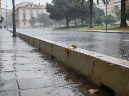
Spain’s run of September heat is about to break. A cold front from the Atlantic is moving in, bringing rain to the north and a noticeable drop in temperatures across much of the country. The change will be most obvious from Tuesday into Wednesday, as the front moves from Galicia toward the Mediterranean and ends the early autumn heatwave of recent days.
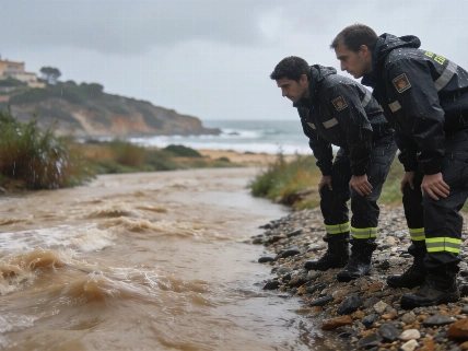
In Galicia, rain arrives Tuesday morning and spreads quickly across the northwest. By Wednesday, the Mediterranean coast—including Catalonia and the Balearic Islands—will feel the front, with some areas expecting heavier downpours as the system meets warmer sea waters. The rest of the week stays mostly under high pressure, but isolated showers could still pop up in parts of the Mediterranean arc, from Catalonia down to eastern Andalusia. The Spanish State Meteorological Agency (AEMET) says rainfall in Galicia could locally top 40 mm in 24 hours, especially in coastal provinces.
In early September, Spain recorded its highest average national temperature for the month since records began, with several stations in Catalonia and Valencia exceeding 38°C.
While the north gets cooler and wetter, the south is still holding onto summer. Cities like Seville and Córdoba are expected to reach up to 40°C at the start of the week, and the Mediterranean coast will also stay muggy and warmer than usual. By midweek, even these regions will see temperatures drop, though humidity will remain high. El País notes that this sharp contrast between regions is typical during Spain’s seasonal transitions.
By Wednesday, the difference will be clear. Northern cities may not reach 20°C, while southern areas still hover around 35°C. Minimum temperatures will also fall, making nights more comfortable, though humidity along the Mediterranean will keep the air heavy in some places. In the Canary Islands, trade winds continue, with clouds and occasional rain mostly limited to the northern slopes of the higher islands.
Meteorologists from AEMET highlight that the frequency of abrupt temperature swings and intense rainfall events has increased in Spain over the past decade, reflecting broader climate volatility across southern Europe. In 2023, Spain experienced its hottest year on record, with average temperatures 1.3°C above the historical norm.
A weaker front is expected to brush the far northwest on Friday, bringing only scattered showers to Cantabrian communities. For most of Spain, though, high pressure will return, with only brief interruptions from passing weather systems.
This sudden shift follows a period of record-breaking heat, as reported earlier in Barcelona, where September temperatures reached new highs. The current change brings a pause to the extreme conditions, but many regions are still warmer than average. Unpredictable swings between heatwaves and sudden cooling fronts have become a regular part of Spain’s climate in recent years. For anyone planning travel or outdoor activities, it’s best to be ready for quick changes, as Spain’s weather remains unsettled.