Barcelona Regional has launched a pilot tool to guide pedestrians along cooler, less trafficked routes. The system rates walkability and shade, aiming to make city travel safer during high temperatures.
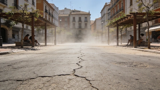
Barcelona Regional, the technical agency of the Área Metropolitana de Barcelona, has introduced a new digital tool designed to help pedestrians navigate the city while minimizing exposure to extreme heat. The route finder, currently in beta and accessible only via web, calculates the coolest walking paths between two points, factoring in shade, tree cover, and traffic levels. This initiative comes as Barcelona faces increasingly frequent heatwaves, making daily commutes on foot a challenge for many residents.
The tool evaluates each street segment using two main criteria: a 'freshness index' and a 'walkability index.' The freshness index considers total sun exposure, the amount of shade from trees, and the presence of green spaces within a 30-meter radius. The walkability index measures the width of sidewalks, the proportion of pedestrian space compared to roadways, and the average daily vehicle traffic. Each suggested route is scored from 0 to 100 for both indices, as well as an overall comfort rating.
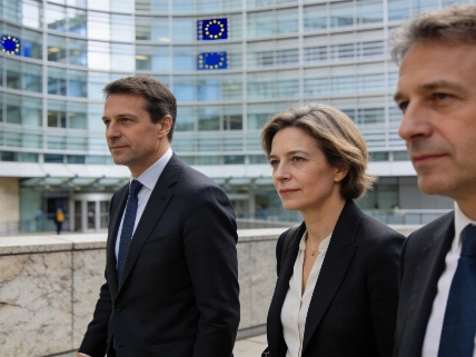
During a demonstration at the AMB headquarters, technical lead Elena Lacort explained that the system sometimes avoids streets that appear green and shaded but are penalized for heavy traffic, such as the paseo de Sant Joan. Conversely, some routes may divert away from iconic areas like the Sagrada Familia, where the immediate surroundings are dominated by concrete and asphalt, intensifying the heat. The tool also highlights pedestrian-friendly zones like the superilla de Consell de Cent, but steers clear of sections adjacent to busy roads.
The launch event, titled 'El calor en el Área Metropolitana de Barcelona: conocimiento y acción,' brought together local mayors and municipal experts to discuss strategies for adapting urban mobility to rising temperatures. Guille López, CEO for Climate Action at AMB and a Barcelona city councillor, emphasized the importance of integrating sustainability metrics into mobility planning. He called for public access to walkability and freshness data, encouraging other operators to incorporate these factors into their own systems.
Barcelona's approach reflects a broader trend in European cities, where authorities are seeking innovative ways to protect residents from the health risks of extreme heat. The focus on pedestrian comfort and safety is particularly relevant as walking remains the primary mode of transport for many in the city. Similar concerns have prompted organizers of major events, such as the Tour de France, to adopt high-tech cooling measures for participants, as detailed in this recent report on heatwave adaptations in France.
While the Barcelona route finder is still in its testing phase and not yet available as a mobile app, its development signals a shift in how cities may address urban heat in the coming years. The integration of real-time environmental data into everyday mobility tools could become a standard feature in metropolitan planning, especially as climate change continues to intensify summer temperatures across southern Europe. For now, the project offers a glimpse into how technology and urban design can combine to make city life more bearable during the hottest months.