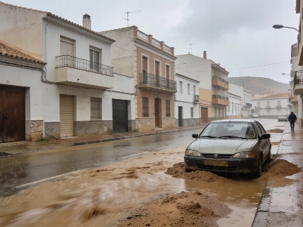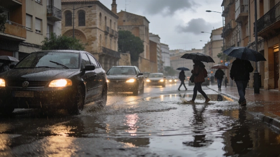
Tarragona faces an orange alert today due to severe rainfall. Storm warnings extend across Aragón, Catalonia, Valencia, and the Balearic Islands. Authorities expect strong showers and changing temperatures in affected regions.
Eastern Spain is bracing for a day of severe weather, with the State Meteorological Agency (Aemet) issuing an orange alert for Tarragona due to intense rainfall. Several other regions, including Aragón, Catalonia, the Valencian Community, and the Balearic Islands, are also under weather warnings as storms and heavy showers move in. The most critical situation is expected along the Tarragona coast, where precipitation could be particularly strong throughout the day.
According to Aemet, the current weather pattern is driven by a developing low-pressure system to the west of the peninsula, which is drawing in warmer air from the south. This shift is resulting in widespread cloud cover across the eastern third of the country and the Balearic Islands, while central Spain will see clouds building up as the day progresses. In contrast, most other regions will experience clearer skies, except for some low clouds in the Cantabrian area.
Heavy showers and storms that began the previous day are set to continue, especially along the coasts of Tarragona and Castellón, as well as in Ibiza during the early hours and much of Saturday. These conditions may later spread to other parts of the Valencian Community and even reach Murcia by the evening. Afternoon hours could bring further instability, with the possibility of strong storms in Navarra, Huesca, and particularly in the Ebro valley and the Iberian system.
Elsewhere, the northern slopes of the Canary Islands are expected to see overcast skies and light rain, while the southern parts will remain mostly clear. Morning fog or mist is likely in the upper Ebro, inland Cantabrian regions, and isolated areas of Huelva and Albacete. Wind conditions across the peninsula will generally be light and southerly, though the Cantabrian coast will experience moderate easterly winds, with stronger gusts in Galicia. The eastern third of the country will see light to moderate easterly winds, and the Canary Islands will have moderate trade winds shifting slightly northward in the afternoon.
Temperature changes are also on the horizon. Maximum temperatures are forecast to rise in most of Spain, with a notable increase in the Cantabrian area and Galicia. However, a drop in daytime highs is expected in the Levante, Balearic Islands, Catalonia, and the Canary Islands. Minimum temperatures will climb slightly in the southern plateau, the Baetic systems, and the Balearics, but will decrease elsewhere and in the Canaries.
These weather developments follow a pattern seen in previous years, where sudden storms and heavy rainfall have led to significant disruptions in eastern Spain. For example, a recent Atlantic storm brought similar alerts and rainfall to Catalonia and the Balearic Islands, highlighting the region's vulnerability to rapid weather changes.
Spain's eastern regions are particularly susceptible to intense rainfall events, especially during transitional seasons. The orange alert in Tarragona signals a heightened risk of localized flooding and travel disruptions. Residents in affected areas are advised to stay informed through official channels and take necessary precautions as conditions evolve throughout the day.