The Eurasian and African plates converge south of Iberia by 4 to 6 millimetres a year. A study led by Asier Madarieta connects that pressure to the peninsula’s slow clockwise rotation and the active Gibraltar arc.
The plate boundary south of Iberia is difficult to pin down. Its structure is irregular.
The Eurasian and African plates converge there at 4 to 6 millimetres a year. A study led by Asier Madarieta concludes that the peninsula is slowly turning clockwise as the plates interact.
Madarieta, a researcher with the HGI group at the Universidad del País Vasco (EHU), and his team examined how tectonic compression deforms one of the western Mediterranean’s most complex areas. The boundary between the plates is hard to define, making it difficult to trace how the pressure moves through the region.
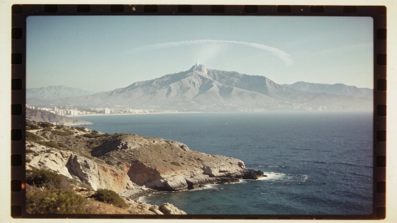
The Alborán domain is central to the explanation. Its westward drift helped form the active Gibraltar arc, which connects the Betic range with the North African Rif and acts as a tectonic buffer.
East of the Strait of Gibraltar, the arc absorbs much of the deformation. Farther west, contact between the plates is more direct, allowing tectonic forces to pass towards the peninsula’s southwest. That contrast helps explain how the collision’s force is distributed across the region.
To map the strain, the team combined stress patterns calculated from earthquakes recorded over recent decades with high-precision satellite observations of surface deformation. The European-Mediterranean Seismological Centre recorded a magnitude 2.1 earthquake near Faro on 11 October 2026, at a depth of about 40 kilometres.
It recorded another magnitude 2.1 event west of Gibraltar on 14 October, at about 1.7 kilometres deep.
A magnitude 1.5 earthquake struck near Punta Umbría on 15 October, at a depth of about 14 kilometres. Together, the seismic and satellite data show how the ground responds to stresses below the surface.
The findings may help researchers identify areas where active faults could generate earthquakes. They also bear on QAFI, the database of Quaternary faults in the Iberian Peninsula. QAFI remains incomplete in parts of the western Pyrenees and the western Gibraltar arc.
The research concerns a different kind of pressure from the political confrontation covered in an earlier Spain report. This study focuses on how tectonic strain is distributed and where active faults may be present.
More detailed geological and geophysical studies are needed in those areas.