The cabañuelas have no scientific evidence as a forecasting method. Jorge Rey’s prediction nevertheless points to a possible change in Spain’s weather, with snow at high elevations among the outcomes he forecasts for late November. Rey, a young forecaster from Bocos, Burgos, uses the traditional method, which associates weather observed on selected days in August with conditions in later months. He also draws on observations of nature and lunar phases.
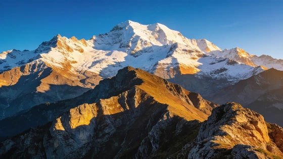
Rey expects fronts to move towards the northwest and north on 26 and 27 November. He says cold polar maritime air could arrive and bring significant snowfall in high mountains. Snow may also reach medium elevations, though his forecast does not specify an altitude or identify the areas that could be affected. The forecast gives no snowline or expected accumulation.
That uncertainty limits what can be concluded about conditions in particular towns. The prediction does not establish that snow will reach any specific city. Spain’s State Meteorological Agency, AEMET, publishes official forecasts and weather warnings, including geographically defined information on precipitation and snow accumulation.
Rey expects more stable weather between 29 November and the beginning of December, with an anticyclone over much of Spain. He does not rule out continued rain in the north. He also predicts further Atlantic depressions in the following weeks and says northerly winds in December could favour snow in Burgos and Soria. He separately mentions points in the north.
AEMET’s seasonal outlook for November 2026 through January 2027 assigns a very high probability to above-average temperatures across Spain, while indicating that precipitation could exceed normal levels on the Atlantic side, particularly in the northwest. As National Geographic España has noted in its coverage of the outlook, more rain does not necessarily mean more snow: snowfall also requires sufficiently low temperatures.