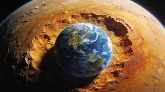
NASA has released a striking 3D visualization showing Earth's gravity as a geoide. The image reveals bulges and depressions, challenging the idea of a perfect sphere. The model is based on satellite data and has key scientific uses.
NASA has published a new 3D visualization that dramatically redefines how Earth's shape is understood. The image, which quickly drew global attention, does not show mountains or valleys, but instead maps the planet's gravity field using a scientific model known as the geoide. This approach exposes subtle gravitational variations that are invisible to the naked eye, yet crucial for science and technology.
For decades, the common image of Earth was that of a near-perfect sphere. However, scientific advances have shown this is not accurate. According to Spain's Instituto Geográfico Nacional (IGN), Earth's rotation causes a slight flattening at the poles and a bulge at the equator. Even this adjusted model fails to capture the planet's true complexity. The new NASA visualization, based on the GOCO06s gravity model, reveals a surface marked by exaggerated bulges and depressions—features that represent differences in gravitational pull rather than physical terrain.
The geoide is an imaginary surface used as a reference for measuring altitude and describing Earth's gravity field. As explained by the IGN, it represents the shape the oceans would take if only gravity and Earth's rotation acted on them, with no influence from tides, winds, or currents. Because Earth's mass is unevenly distributed—due to mountains, ocean trenches, rock composition, and internal movements—gravity varies from place to place. These variations, though minor in reality, are essential for understanding the planet's true form.
To make these differences visible, NASA's image exaggerates the variations by a factor of 10,000. In reality, the deviations from the mathematical ellipsoid (the standard geometric approximation of Earth) rarely exceed a few hundred meters. The visualization transforms these subtle gravitational changes into dramatic features, making the invisible visible for scientific analysis.
Beyond its visual impact, the geoide has practical applications. It serves as the reference for measuring altitude above sea level, creating high-precision topographic maps, improving satellite navigation systems, and studying phenomena such as climate change, sea level rise, and glacier mass loss. The GOCO06s model, which underpins NASA's visualization, was developed from a billion satellite observations collected over 15 years by 19 satellites, including NASA's Grace and the European Space Agency's Goce missions.
Understanding the geoide is fundamental for geodesy, the science of Earth's shape and dimensions. Accurate knowledge of the gravity field is vital for engineering, navigation, and environmental monitoring. For example, precise altitude measurements depend on the geoide, affecting everything from construction projects to flood risk assessments. In Spain, as in other countries, these models are used to calibrate GPS systems and inform infrastructure planning. The ongoing refinement of gravity models, supported by international satellite missions, continues to improve the accuracy of maps and navigation tools relied upon daily.