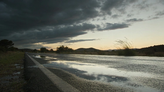
Spain's weather will calm after a difficult Tuesday, but the risk has not gone. Inland storms may still turn strong, while heat and tropical nights continue in several provinces.
An Atlantic front from the northwest will move east across Spain on Wednesday. It will bring widespread cloud first, with the clearest rain in the northwestern half of the Peninsula. The danger is not gone. Isolated showers and strong storms may still hit inland areas, especially eastern Castilla-La Mancha and the southern Iberian System.
AEMET's warnings at the height of the episode also pointed to flooding and overflowing waterways in parts of Catalonia. Tuesday's red alerts in Catalonia and Extremadura will give way to weaker rainfall. The weather will still be unsettled.
On 29 September, AEMET issued a red alert in Catalonia because of exceptionally heavy rainfall and the risk of flooding in the coastal and foothill areas.
AEMET expects conditions to be less intense than on Tuesday. The front will first leave much of the mainland under very cloudy or overcast skies. Cloud cover should then break up from north to south as the system moves east.
Rain will be most persistent in the northwestern half of the Peninsula. The eastern Cantabrian area could receive significant amounts. Galicia and the western Sistema Central should see lower totals.
Further east, inland showers may form with strong storms in eastern Castilla-La Mancha and the southern Iberian System. That is where local conditions could change quickly.
The islands will avoid the main episode.
No rain or storm warnings are expected in the Canary Islands or the Balearic Islands. The mainland will carry the week's most uneven weather pattern. The northwest will be wetter, while the interior east faces a more selective storm risk.
The late-September episode was notable for its intensity across several Spanish regions: official and media reports described red and orange alerts associated with torrential rain, hail and strong winds. Forecasters warned that unsettled conditions could continue through the end of the week, particularly across the Peninsula.
Temperatures will split Spain into warmer and cooler zones. Readings will fall in the northwest. The southeast and northeast will stay hotter.
Granada, Badajoz, Alicante, Córdoba, Huelva, Girona, Seville, Murcia and Lleida may reach or exceed 30 degrees. AEMET's outlook shows the same divide, with cooler conditions in the northwest and higher temperatures in eastern and southeastern areas.
Nights will bring little relief in some places. Minimum temperatures should rise in central Spain and fall in the west. Tropical nights above 20 degrees are expected in places such as Alicante, Almería, Madrid, Castellón and Tarragona.
The weather will feel less threatening than on Tuesday. It will not be settled. Rain may continue through the rest of the week and into the weekend across much of the Peninsula and the Balearic Islands. Some episodes could become strong.
Residents in areas that still face storm risks should follow updated warnings. Protección Civil will issue recommendations for each autonomous community. The worst part of Tuesday's episode is passing, but Wednesday still calls for local caution.