Spain faces a turbulent Pilar holiday as Aemet signals the arrival of intense storms, heavy rainfall, and a sharp drop in temperatures. The southwest, Alborán, Canary Islands, and Balearic Islands are set for the most severe weather, with some areas under orange alert.
Spain is on edge as the Pilar holiday nears. Aemet has put out new warnings. Storms are coming. Temperatures are about to drop fast. The southwest, Alborán, Canary Islands, and Balearic Islands are in the crosshairs. Other regions are bracing for a rough long weekend.
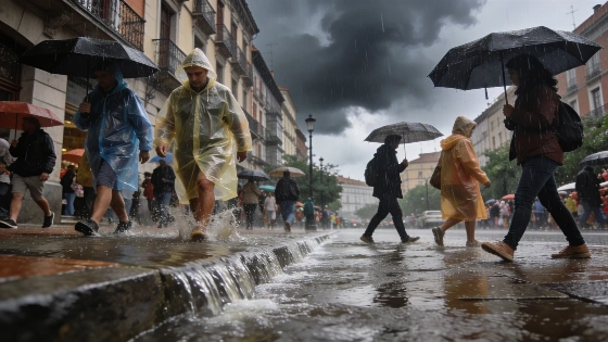
Wednesday brought more trouble. A high-altitude depression, known as a dana, kept the weather unstable. Some areas might get a break later in the day, but Aemet is not letting its guard down. Yellow alerts are up for strong showers and storms in eastern Andalucía, Región de Murcia, Comunidad Valenciana, Baleares, Asturias, Cantabria, País Vasco, Aragón, and Cataluña. The Barcelona coast and southern Girona face even higher risks. Orange alerts warn of rain that could dump over 40 liters per square meter in just one hour. Qué! confirmed that Aemet's yellow warnings are still active in several regions. Heavy downpours and storms are likely before the Puente del Pilar. In the Cantabrian region, temperatures could fall to 8°C.
On October 5, Aemet extended yellow alerts to the entire interior of Valencia province, warning of wind gusts over 70 km/h and hail larger than 1 cm.
Cold air is moving in. The Cantabrian region will feel it most. Asturias, Cantabria, País Vasco, and northern Navarra could see temperatures drop by six to eight degrees. Locals used to mild autumns will get a sudden chill. La Razón reports that another DANA could arrive by the weekend. This could stretch out the bad weather after a short break. Some northern and mountain areas might get up to 40 l/m² of rain in just one hour.
The Pilar holiday and the Día de la Fiesta Nacional on October 12 are just ahead. Aemet says a new dana will keep the weather unsettled. The southwest will likely take the hit. Rain and storms could mess up travel and outdoor plans. Several sources point to the south and southwest, the northeast, the Mediterranean coast, the Balearic Islands, and the mountains of the Canary Islands as the most at risk for holiday disruptions. The forecast is still shifting. The path of the new DANA is not set.
Thursday brings a wet northern flow and colder air. Expect clouds and rain in the northern third of Spain and the Balearic Islands. Storms and hail are possible. The Canary Islands face a nearby trough. Heavy showers and storms could hit the mountain islands hard.
Meteorologist Mario Picazo has highlighted the likelihood of a new DANA forming by the end of the week, urging special attention to the Mediterranean and Balearic Islands due to the increased risk of severe weather in these regions.
Central Spain will struggle to reach 20ºC. In the northwest, highs may only hit 15ºC. The first snow of the season could dust the Pyrenees. Winter is coming early for high-altitude towns.
Friday should bring calmer weather to the north. Rain will stick around elsewhere. A trough could turn into a dana between the southwest and the Canary Islands. If that happens, the southern third of the peninsula and Alborán could get soaked over the weekend. The Balearic Islands might see heavy showers before the holiday starts. Most other regions should get clearer skies and steadier weather.
Saturday's outlook keeps rain in the south, Alborán, and the Canary Islands. The Cantabrian region may only see light, scattered drizzle. Forecasts for Sunday and Monday are still being updated as the situation changes.
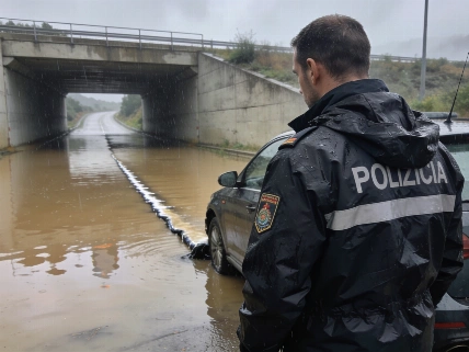
Recent storms have already put parts of Spain on alert. In Granada, heavy rain and storms disrupted daily life for two days, as reported earlier. Now, the warnings are back. The next few days could bring even worse weather to more regions.
Holidaymakers and locals face a Pilar holiday shaped by wild weather and falling temperatures. Aemet's message is clear. Anyone planning to travel or celebrate outside should be ready for sudden changes, especially in the southwest, Alborán, Canary Islands, and Balearic Islands. This year, the Pilar holiday will be a test. Autumn is here in full force. The coming days will show how much this weather system will disrupt life across Spain.