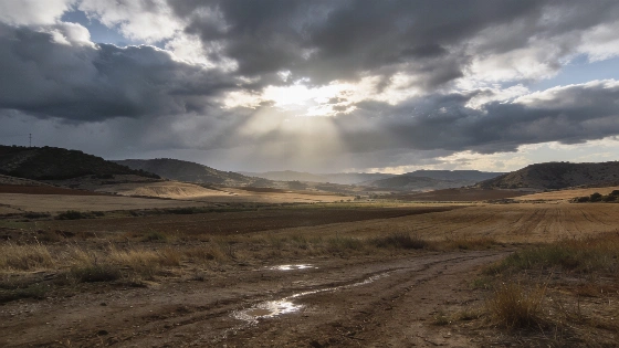
Spain’s autumn starts with warm days and unpredictable rain. The first real cold is still far off, with forecasts pointing to late snow and a patchwork of weather. The west and south are set for heavier showers.
Autumn in Spain is holding back the cold. Instead of crisp air and early frost, the season opens with warm days and restless rain clouds. September is ending, but winter still feels far away. There’s no sign yet of widespread snow.
Anyone waiting for a quick shift to chilly weather will have to wait longer. Forecasts show mild temperatures sticking around for weeks. Rain will come, but only now and then. The west and south will get the heaviest showers. The east may stay dry and see calmer weather. Spain’s national weather agency, AEMET, says there’s a 60–70% chance that September to November 2026 will be warmer than usual. The odds of a colder autumn are just 10%. AEMET spokesperson Rubén del Campo has said most of Spain is likely to see a warm autumn.
During the week of September 21–27, AEMET forecasts a 'fully summer-like' pattern, with temperatures well above normal and scarce rainfall across most of Spain.
Jorge Rey, who shares weather forecasts on YouTube, has updated his outlook using the cabañuelas method. In his latest update on September 21, he said: “las primeras intuiciones nos dejan pensar que el invierno vendría cálido pero bastante lluvioso.” Rey expects storms at the end of September to move toward North Africa, barely touching the mountains of Murcia and Alicante. A strong anticyclone will keep the west warmer. Some weak showers could still show up in the west, and a short burst of cooler air may reach the north.
October looks set to keep this uneven pattern. Rey sees more heat in the west and haze in the Canary Islands. Around October 9, stormy showers could move in from the west and head toward the Mediterranean during the Pilar holiday. After that, a wave of African air may bring warmth back to the east. The Cantabrian coast could get light rain and more clouds. The biggest change is expected on October 23–24, when an Atlantic front could bring rain and storms to the north and center. As October ends, temperatures should rise again, except in the western Cantabrian area, where some rain may stick around.
AEMET highlights that the signal for rainfall is highly uneven: the northwest, including Galicia, parts of Castilla y León, and northern Extremadura, is likely to see a wetter-than-normal autumn, while the rest of Spain faces much more uncertain precipitation patterns. In Andalusia, the probability of a warmer-than-usual autumn reaches 60%, and up to 70% in the eastern part of the region.
Looking to November, forecasts say it will be the wettest month of early autumn. Rey expects a run of Atlantic fronts between November 3 and 9, bringing heavy rain to the west. The north Mediterranean, including Catalonia, could see its own rain episode. The cabañuelas method also points to a DANA (an isolated high-altitude depression) around November 14, followed by strong storms in the Levante. The second half of November should bring a mix of Atlantic storms, warmth in the Mediterranean, and rain in the northwest. By November 25, more storms could hit the west. Another front around November 27 may drop temperatures and bring the first snow at higher elevations.
December is expected to start mild, though some fronts could still reach the Cantabrian region. The first real winter chill is forecast for around December 9, with rain in the north and center, heavy mountain snow, the first flakes at mid-altitude, and then frost. Another northern front is likely around December 16, after which the weather should settle. Christmas is expected to be sunnier and more pleasant, but rain could return to eastern Spain at the end of 2026.
For now, the classic Spanish autumn—cold mornings and early snow—remains out of reach. Instead, Spain faces a season of contrasts. Warmth is hanging on, and rain is splitting the map. This changing weather, shaped by both old and new forecasting, means people will have to adjust to a climate that keeps shifting. As the months go by, the real question is how fast Spain’s regions can adapt, and what this will mean for daily life, farming, and travel.