Cáceres faces a yellow alert for rain and storms, with unstable skies and falling temperatures. The AEMET warning affects daily routines and travel. Rain and thunderstorms are expected throughout the day.
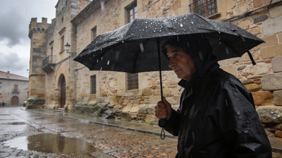
Cáceres enters the week under a yellow alert for rain and storms, as issued by the Agencia Estatal de Meteorología (AEMET). The warning, which covers the Meseta cacereña, signals a day of unstable weather, with frequent cloud cover and the likelihood of thunderstorms disrupting the early hours. By 06:00, the storm activity is expected to ease, giving way to clearer skies and less cloudiness as the day progresses.
Light rainfall is forecast to begin around 08:00, potentially reaching 0.5 liters per square meter, with a further 0.2 liters possible by 18:00. Thunderstorms remain a significant risk throughout the day. Maximum temperatures are set to fall, peaking at 28°C near 17:00, while minimums will hover around 17°C. The thermal sensation may reach 27°C at its highest and drop to 18°C at its lowest. Winds from the south are expected to persist, adding to the unsettled conditions.
Looking ahead to Tuesday, Cáceres will see cloud cover dominate until midday, after which clouds are expected to increase. Temperatures will remain relatively stable, with highs of 27°C and lows of 18°C, and a minimum thermal sensation of 17°C. Light southwesterly winds are forecast to continue, maintaining the unsettled pattern.
By Wednesday, the probability of rain increases, especially during the first half of the day when cloud cover will intensify and showers are likely to begin. Temperatures are not expected to shift significantly, with a maximum of 26°C and a minimum of 17°C. Winds from the southwest will remain a feature of the local weather.
Nearby municipalities are also set for variable conditions. In Badajoz, cloudy skies and rain are expected in the morning, with heavier cloud and rain from midday. Light showers are likely around 11:00 and again at 15:00, with temperatures ranging from 19°C to a high of 30°C. Talavera de la Reina will experience intervals of cloud and rain in the early hours, shifting to persistent cloud and rain after midday. Morning showers are expected, with the possibility of light rain in the afternoon. Here, minimum temperatures will fall below 15°C, with highs reaching 29°C.
Other locations such as Salamanca, Ciudad Real, Córdoba, Brunete, Zamora, Sevilla, Benalmádena, Guadalajara, Pontevedra, Lugo, Santander, Estepona, Motril, and Cádiz are also included in the broader forecast, with varying degrees of cloud and precipitation expected.
These weather developments in Cáceres and surrounding areas come as Spain continues to experience unstable summer conditions. Recent weeks have seen similar alerts across the country, with northern regions recently facing heavy rains and storm warnings due to unusual Atlantic weather systems. Such patterns highlight the ongoing variability in Spain's summer climate, often impacting travel, agriculture, and daily life.
According to AEMET, all forecasts remain provisional and subject to updates as conditions evolve. Residents are advised to monitor official channels for the latest information and to take precautions during periods of heavy rain or thunderstorms. The yellow alert underscores the importance of staying informed, especially as weather patterns continue to shift unexpectedly during the summer months.