For the first time in history, researchers have created a three-dimensional map covering every single building on Earth. This monumental project, made possible by an ERC Starting Grant, brought together 2019 satellite images into a unified, highly accurate database. The new map’s resolution is 30 times higher than previous models, with a total of 2.75 billion recorded buildings—one billion more than was previously possible to count.
The project was led by Professor Xiaoxiang Zhu from the Technical University of Munich. She believes that such a detailed map will become an indispensable tool for urban planners, emergency response specialists, and engineers responsible for infrastructural development. With a precision of three meters on each side, it’s now possible not only to pinpoint the location of buildings but also to analyze their height, volume, and development density.
Each building on the map is represented as a three-dimensional model with a basic level of detail (LoD1). This means it shows the main geometry of the building without intricate architectural features, yet with enough accuracy for large-scale calculations and integration into urban models. This approach allows for quick assessments of the urban environment structure and informed decision-making regarding land development.
New horizons
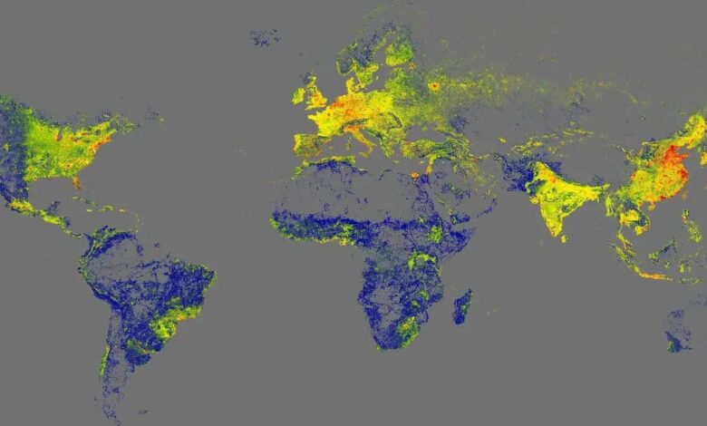
Unlike previous maps, which mainly covered major cities in developed countries, the new database also includes regions that previously remained “blank spots” on digital maps. Researchers now have detailed information about buildings in African countries, South America, Southeast Asia, as well as in rural areas around the world.
Three-dimensional data provide a new perspective on urbanization levels and socioeconomic disparities between regions. While previous assessments of building density were limited to two-dimensional maps, it is now possible to analyze not only the area but also the volume of each structure. This enables a more accurate understanding of living conditions, helps identify areas with a shortage of housing and social facilities, and allows for infrastructure development to be planned according to the real needs of the population.
The developers have paid special attention to creating a new global indicator—the volume of buildings per capita. This metric makes it possible to compare access to housing and infrastructure across different countries and cities, identify areas with the greatest social contrasts, and implement measures to address them.
Practical application
The data collected is already being used to model urbanization processes, assess the vulnerability of areas to natural disasters, and plan new residential neighborhoods. The three-dimensional map helps city authorities make decisions about building new schools, hospitals, and other social facilities, as well as identify areas where infrastructure upgrades are needed.
In addition, the map opens up new opportunities for scientific research. For example, experts can analyze how the structure of cities changes under the influence of migration, economic crises, or climate change. This is especially important for countries that have previously lacked accurate data on development and population density.
In the future, the developers plan to update the map with new satellite imagery and expand its capabilities. Even now, it has become an indispensable tool for architects, urban planners, and specialists in urban development management.
Global coverage
One of the key features of the project is its versatility. The map covers not only large cities, but also small towns, villages, and even individual buildings in remote areas. This provides an objective picture of the distribution of population and infrastructure across the planet.
Developers note that 97% of all objects are represented as LoD1 models, striking a balance between accuracy and large-scale data processing capabilities. This approach enables the map to be integrated into various computational systems and used to solve a wide range of tasks—from transportation network planning to environmental impact assessment.
Looking ahead, the map could serve as a foundation for new services and applications related to urban environment analysis, real estate management, and smart city development. It is already being used in educational and research projects around the world.
Social aspects
The 3D building map helps identify not only architectural but also social issues. For example, it can be used to pinpoint areas with high population density and a shortage of housing, as well as zones where new social infrastructure is needed.
A new global indicator—the volume of buildings per capita—makes it possible to compare living standards in different countries and cities, identify risk zones, and take measures to improve urban environments. This is especially important for developing regions where housing shortages are most acute.
Overall, the launch of this map opens up new opportunities for analysis, planning, and management of urban development on a global scale. It serves as a tool to help make cities more sustainable, inclusive, and comfortable to live in.
Incidentally, Professor Xiaoxiang Zhu is one of the leading experts in satellite data analysis and urban environment modeling. Her team at the Technical University of Munich develops innovative big data processing methods to address current challenges in urban development and ecology. The project to create a global 3D building map is one of the largest undertakings in the university’s history and has been recognized by the scientific community worldwide.