A significant moment is arriving for residents of Spain: after a period of instability and surprising weather, the country is finally catching a break. High pressure has brought much-anticipated stability, immediately impacting daily life. Clear skies and the absence of precipitation will allow many to return to their routines, while rising temperatures will noticeably influence both mood and plans for the coming days.
As reported by El Pais, most regions in Spain will start the week with warm, sunny weather. Temperatures will rise, and in cities like Murcia and Granada, the mercury will reach 26 and 24 degrees respectively. This is a marked change after recent cold fronts and rains, which disrupted plans for outdoor work and leisure.
Dust and winds in the Canaries
However, not all regions will enjoy the calm. The Canary Islands are under a yellow alert due to dust and calima—a weather phenomenon in which air fills with sand and dust particles from the Sahara. According to meteorologists, visibility on the islands will drop to three kilometers, and conditions could be even more challenging in mountainous areas. This will be especially pronounced on eastern and southern slopes, where the dust is expected to linger the longest.
Winds across the archipelago will blow from the east, intensifying the calima effect. Residents and tourists are advised to exercise caution, especially those with respiratory conditions. In the rest of the country, winds will be light and mainly southerly, creating comfortable conditions for outdoor activities and work.
Temperature fluctuations
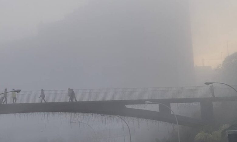
On Monday, minimum temperatures are also expected to rise, except in the southwest regions and the Alboran coast, where a slight drop is possible. Light frosts will persist only on the peaks of the Pyrenees and Cantabrian Mountains, while in northern areas and on the plateau, fog may form in the morning. Along the Mediterranean coast, fog may linger longer than usual, which should be considered when planning trips.
According to El Pais, forecasters predict stable and warm weather throughout the week, which will differ from typical values for this season. However, in Galicia, Asturias, and Castilla y León, heavy rainfall is already expected by midweek. This may affect transport and agriculture in these regions.
Possible return of bad weather
As the weekend approaches, the situation will change again. From Friday, meteorologists warn of a new cyclone approaching, bringing cooler weather and a return of instability. Temperatures will begin to drop, and rain may return to some areas. This sharp shift from heat to coolness could catch many off guard, especially after several days of sunny weather.
In recent years, Spain has increasingly faced sudden weather changes. For example, last spring, after a brief warm spell, the country was hit by heavy rains and strong winds, resulting in transport disruptions and the cancellation of public events. In 2024, a similar situation occurred in Catalonia, where a cold front with hail and downpours arrived suddenly after a hot week. Such fluctuations are becoming more common, and meteorologists advise closely following forecasts to be prepared for any surprises.