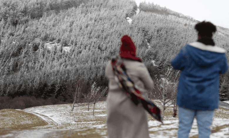
Spanish cities woke up to a true winter chill. In several provinces, temperatures dropped to -6°C, prompting weather alerts. The morning was especially frosty in cities like Palencia and Teruel, where the mercury remained below zero. However, forecasters expect a slight warming by midday.
In other parts of the country, such as Barcelona, Castellón, and Valencia, morning temperatures were also low — under 5°C. Several provinces, including Huesca, Barcelona, Girona, and Lleida, were placed under a yellow weather alert. In some areas of Girona and Lleida, the alert was raised to orange, signaling a higher risk for the public.
Mediterranean coast: warmth amid the cold
Despite the widespread cold, the Mediterranean coast enjoyed milder weather. In Málaga and Almería, daytime highs will reach 18°C, with similar temperatures expected in Sevilla and Huelva. In the south, maximum temperatures will hover around 15°C, while in the north, except for coastal areas, thermometers won’t rise above 12°C. In Ávila and Segovia, daytime highs will not exceed 9°C.
Meanwhile, northeastern Spain and the Balearic Islands continue to battle strong winds. Warnings for gusts up to 70 km/h remain in place for Mallorca, Menorca, and Girona. Orange-level alerts have also been issued along the coast due to waves reaching up to 12 meters in height.
Weekend forecast: frost, fog, and precipitation
In the coming days, the weather will remain unsettled. On Friday, most of the country can expect little cloud cover, except in Galicia, Cantabria, and the Pyrenees, where light rain is possible. Fog and low clouds will settle over inland areas—typical of anticyclonic periods. Nighttime frosts are likely in northern and central regions, while daytime temperatures will remain between 10 and 12°C. On the Mediterranean coast, temperatures could reach 18–20°C.
Saturday will bring a new weather front affecting Galicia, the Cantabrian coast, and Castilla y León. Rain is expected, gradually moving eastward and possibly reaching Extremadura and central regions. Snow may fall in the northern mountains above 1,500 meters. Elsewhere, conditions will remain stable with nighttime frost and little change in daytime temperatures.
Looking ahead to early December: unsettled weather
On Sunday, cloud cover will increase, reducing the extent and intensity of nighttime frost, but daytime temperatures may dip slightly. Next week, as December begins, forecasts are less certain. Still, the most likely scenario is for temperatures to stay near seasonal averages, with less precipitation than usual for this time of year.
Thus, Spain enters winter with sharp temperature swings, strong winds, and coastal storms. Residents and visitors are advised to pay attention to weather warnings and remember to dress warmly.