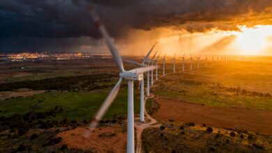
The situation in the Canary Islands has changed dramatically following the arrival of the powerful ‘Therese’ cyclone. For residents, this means not only temporary inconveniences but also a direct threat to infrastructure, transport, and public safety. Road disruptions are already being reported, and increasing risks of localized flooding and landslides could cause serious consequences for the economy and daily life.
Extreme weather conditions
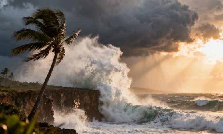
According to AEMET, heavy rain is expected across the archipelago in the coming days, potentially accompanied by thunderstorms and hail, especially on the western islands. The southern and western slopes of La Palma and Tenerife are forecast to see the most intense rainfall, where water levels could exceed 300 liters per square meter. Southwesterly winds are strengthening up to 90 km/h, particularly in mountainous regions and windward slopes of the larger islands. The sea remains rough as well: wave heights exceed five meters, making coastal areas dangerous for shipping and fishing.
On Friday, the frontal system linked to ‘Therese’ will fully cover the archipelago, spreading rain to the eastern islands. At night, heavy downpours are possible in the south of Tenerife and Gran Canaria. Saturday won’t bring much relief: wind and rain will persist, especially in the mountainous and central areas of La Palma, Tenerife, and Gran Canaria. By Sunday, wind speeds are expected to ease slightly, but rain will continue, with the highest water accumulation forecast for the eastern, southern, and mountainous zones of the western islands.
Risks and consequences
Total rainfall during the cyclone may exceed 300 liters per square meter in some areas of La Palma and Tenerife, as well as parts of Gran Canaria. This situation poses a risk of rapid water rise in ravines, localized flooding, and landslides, potentially leading to blocked roads and infrastructure damage. According to russpain.com, such weather events require increased attention from local authorities and emergency services.
With the start of the new week, Cyclone ‘Therese’ is expected to gradually weaken, but instability will persist. Rains will continue, though their intensity will decrease, especially after Tuesday, when the wind shifts to a northeasterly direction. This may ease conditions for residents, but the possibility of new local problems cannot yet be ruled out.
Weather and infrastructure
In recent years, the Canary Islands have already faced similar weather disasters. In 2023, heavy rains and storms temporarily isolated several towns and damaged roads. At that time, local authorities had to close schools and restrict traffic. Similar events occurred in 2021, when torrential rains triggered landslides in La Palma and caused power outages. These incidents show how vulnerable the islands are to extreme weather and highlight the importance of responding promptly to meteorological warnings.