A new Atlantic front is crossing Spain with rain and storms. Temperatures will rise sharply in some regions before another weekend downturn.
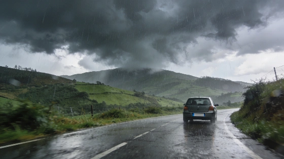
Rain and storms will move west to east across Spain from Wednesday, 30 September. Galicia, the Cantabrian coast and parts of the west face the longest spell of wet weather. Temperatures will rise in the southeast and northeast before another fall at the weekend. AEMET says the episode forms part of a wider unsettled pattern, not a single local shower.
The front will first affect Galicia, the Cantabrian region, Castilla y León and northern Extremadura. Rain will then spread towards central and eastern parts of the Peninsula. Eastern Castilla-La Mancha and the southern Iberian System could see strong rainfall. Forecasters also expect thunderstorms and hail in some inland areas.
That is the main risk.
Yellow and orange weather warnings were reported across 12 autonomous communities and Ceuta, underlining the broad national scale of the unsettled episode.
The front is arriving after a chain of storms and warnings in parts of Spain. Local conditions may worsen quickly where heavy rain, hail and thunderstorms develop.
On Wednesday, maximum temperatures are expected to rise by as much as five degrees compared with the start of the week across much of Spain. The northwest will be the exception, with temperatures falling there. The southeast and northeast should see the biggest increases. Other parts of the Peninsula will record smaller rises.
Summer-like readings will return for a short time. Temperatures could again pass 30ºC in parts of Andalusia, Murcia, southern Castilla-La Mancha and southern Extremadura. Isolated readings above 30ºC are also possible in the Mediterranean area, the upper Ebro and the eastern Cantabrian region on Wednesday and Thursday.
On 29 September Catalonia faced a particularly dangerous rainfall episode, with red warnings and forecast accumulations of up to 180 litres per square metre in three to six hours. The warnings highlighted the risk of sudden flooding before the new Atlantic front moved farther east.
Rain will stay concentrated in the northern half of the Peninsula on Wednesday and Thursday. From Friday, showers could develop anywhere across the Peninsula and may reach the Balearic Islands. AEMET expects rain to continue through Saturday and Sunday. Some areas could see locally strong falls.
Official AEMET warning maps and regional emergency services will be the best guide to local conditions. Catalonia and nearby eastern areas need close attention.
The pattern changes again.
Colder air at altitude will settle over the northern half of the Peninsula. Moisture will arrive from the Mediterranean. Together, these factors are expected to push maximum temperatures down again in the southeast. By Saturday, the fall could reach inland and northern areas. Other regions may see smaller changes.
The colder air above the surface is also likely to make the atmosphere less stable. That raises the chance of thunderstorms. Many places could return to maximum temperatures near 20 degrees.
The week will split into two stages. A short warm spell will affect the south and east. More unsettled weather and a fresh temperature drop will follow.
A warm afternoon will not mean that summer has returned for good. Rain is set to spread from the Atlantic side and strengthen again late in the week. The national forecast will change quickly. Regional conditions matter more than the overall temperature trend.
Locally extreme downpours, hail and sudden flooding remain possible. Short-term warnings should guide decisions in Catalonia and other eastern areas. The shift is fast.