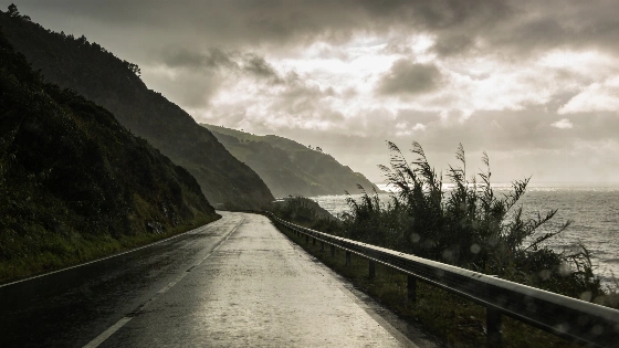
An Atlantic front will cross Spain from the northwest on Wednesday 30 September. Rain will focus on the north and west, while temperatures stay high in the southeast and Mediterranean areas.
On Wednesday 30 September, the eastern Cantabrian region and western Pyrenees will see the heaviest and longest-lasting rain. The front will move southeast from the Atlantic. Córdoba, Murcia and Seville will still reach 33 degrees.
Much of the Peninsula will start the day under very cloudy or overcast skies. Cloud cover will then pull back from north to south as the front moves on. Clearer spells will develop in some areas later.
AEMET has issued yellow and orange warnings for rain and thunderstorms across 12 autonomous communities and Ceuta, underscoring the broad regional scale of the unsettled episode.
According to AEMET, Galicia and the western Sistema Central will also receive rain. Totals there should be lower than in eastern Cantabria and the western Pyrenees. Showers will be more scattered in the eastern interior. Some may turn strong and produce thunderstorms in eastern Castilla-La Mancha and the southern Iberian ranges.
Visibility will be poor during the first hours in the southeast, the Balearic Islands, Alborán and the Strait of Gibraltar. Low cloud will cause the main problem. Haze is also expected in higher parts of the far north.
Temperatures will not move in one direction. Maximums will drop in the northwest but rise in the far southeast and northeast. Little change is expected elsewhere. Girona, Granada and Palma will reach 32 degrees. Badajoz and Jaén will reach 31.
Almería, Logroño, Málaga, Melilla, Toledo and Zaragoza will reach 30 degrees. Madrid will stay at 25 and A Coruña at 22.
The front is developing against a wider period of unsettled weather. An earlier wave brought red warnings in Catalonia, along with reported train cancellations and concerns about flooding in coastal areas, while AEMET says warnings may be updated as conditions evolve.
Minimum temperatures will rise in central Spain and fall in the west. Salamanca will have the lowest minimum among provincial capitals at 9 degrees. León and Lugo will reach 10.
Madrid will fall to 18 degrees. Barcelona and Tarragona will remain at 21. Córdoba will have a minimum of 18 degrees, Sevilla 19, Almería 22 and Málaga 21.
Wind will add to the trouble in the north. Moderate southerly winds are expected inland, in Galicia and along the Cantabrian coast. Very strong early gusts may hit the northern side of the Cantabrian Range.
Travel could become harder in exposed mountain areas and on nearby roads. The gusts will ease later. Winds on the Cantabrian coast will turn northwest. The Mediterranean coasts and the Balearic Islands will get moderate southeast winds. Moderate easterly winds are expected in Alborán and the Strait.
For readers tracking other developments in Spain, an earlier report examined a housing decree. This forecast points to a more immediate problem: rain, poor visibility and difficult wind conditions in several regions.
The Canary Islands will stay mostly clear. Cloud will build inland over the more mountainous islands, and an isolated shower cannot be ruled out. Moderate trade winds will prevail. Santa Cruz de Tenerife will reach 29 degrees and Las Palmas de Gran Canaria 28.
The pattern will vary sharply by region. Northern areas face the most disruptive weather. The southeast will keep its summer-like heat. That contrast matters on Wednesday.