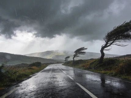
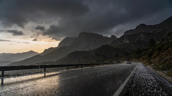
The State Meteorological Agency (AEMET) expects the heaviest mainland rain in Galicia, where a thunderstorm is also possible. Across much of the centre-north and north-west, a weakened front will bring mostly light showers on Saturday. The system, Storm Bruna, is forecast to bring strong or very strong showers and persistent rain, with thunderstorms also possible. Strong winds and rough seas are expected in parts of Spain. It is expected to reach Galicia first, with rain spreading into Asturias and Castilla y León before affecting the western Canary Islands.
La Palma faces an orange warning for rain, indicating important danger under AEMET’s alert system. The warning begins at 21:00 on Saturday, 7 November, and runs until 17:59 on Sunday, 8 November. AEMET forecasts up to 30 litres per square metre in one hour and 100 litres in 12 hours, with a 40 to 70% probability of the warning conditions. The forecast is for intense, persistent rain that may be accompanied by thunderstorms.
The rain warning extends beyond La Palma in the Sunday outlook: AEMET also placed Tenerife and El Hierro, as well as La Gomera and Gran Canaria, under orange rain warnings for 8 November. The Canary Islands’ emergency authorities declared a rain alert for all five islands from 21:00 on Saturday. The forecast warnings describe potential conditions, not observed rainfall or flooding.
La Palma also has warnings for wind, with maximum gusts of 70 to 90 kilometres per hour forecast in north-western and eastern coastal areas. A yellow coastal warning cites winds of 50 to 61 kilometres per hour, equivalent to force 7, particularly in the north-west. Tenerife is forecast to see gusts of 70 to 90 kilometres per hour, mainly at higher elevations. La Palma also has yellow warnings for thunderstorms and rough seas.
Cloud will gradually break across much of northern and north-western Spain. Elsewhere on the mainland and in the Balearic Islands, skies should remain mostly clear or carry high cloud, although the front may bring isolated light rain as it moves east. The southern third of the mainland is expected to avoid those showers, as are the Balearics. Morning mist or fog is possible in coastal areas in the north and east, as well as in the Balearics.
In the Canary Islands, a front is expected to bring cloud and possible rain to the western islands. Winds from the south will strengthen, with very strong gusts forecast in the western islands, including La Palma and Tenerife. AEMET also expects intervals of strong wind at higher elevations.
Temperatures will fall in the north-east of the mainland, while rising in the Atlantic and Cantabrian regions, as well as in the Canaries. Minimum temperatures are forecast to rise across most of the mainland, markedly in broad parts of the north-west; frost should then be confined to the Pyrenees, with isolated occurrences in the Iberian ranges and the Cantabrian ranges. The snow line in the Pyrenees is expected to rise from 1,400 to 1,600 metres to 2,000 metres.
Winds will be moderate easterly in Alborán and the Strait, with some strong intervals in the Strait. Galicia’s Atlantic coast is forecast to have moderate southerly winds, while light easterly or southerly winds elsewhere will turn westerly over the plateaux. A separate Sunday rain forecast covers a deep Atlantic low expected to bring further rain from 8 November.