A cold front from the northwest will bring a marked drop in temperatures and rain to northern Spain. After days of extreme heat, many regions will see temporary relief. The change will be brief, with warmer weather expected to return soon.
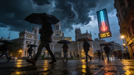
Spain faces a sudden weather reversal this weekend as a trough from the Atlantic sweeps in from the northwest, bringing cooler air and significant rainfall to the north. After a prolonged period of intense heat, with temperatures nearing 40°C in several provinces, the arrival of this system marks a notable shift for much of the country. The most immediate impact will be felt in Galicia and the Cantabrian communities, where umbrellas will be essential from Friday as showers begin to move in.
By Saturday, the unstable conditions are set to intensify across the northern third of the peninsula. Rainfall is expected to spread, affecting not only Galicia but also the Basque Country, northern Aragón, Navarra, and Catalonia. In these areas, downpours could be locally heavy and accompanied by hail, with short bursts delivering up to 20 liters per square meter in just one hour. While these storms are not forecast to be long-lasting, their intensity may cause brief disruptions. Further south, any precipitation will likely be lighter and more isolated, mainly confined to mountainous zones.
The most significant change for residents will be the sharp drop in temperatures. After days of oppressive heat, especially in regions where the mercury has hovered around 40°C, the arrival of cooler Atlantic air will bring much-needed relief. The temperature decline will begin in the northwest on Friday and gradually extend to other areas over the weekend. However, the southeast, including Murcia and the Ebro Valley, will still see highs reaching or exceeding 40°C on Friday, while Galicia will experience much milder conditions.
Saturday will see a more widespread cooling, though Mediterranean provinces are expected to remain warm, with daytime highs still approaching 40°C in some locations. Nights will continue to be sultry in many areas, with minimum temperatures often staying between 20°C and 25°C, and occasionally higher. Elsewhere, mornings will feel noticeably fresher. By Sunday, the Mediterranean coast should see more comfortable temperatures, but a new warming trend will begin in the southwest, particularly in Extremadura and western Andalusia, signaling the return of higher temperatures in the following week.
Alongside the temperature drop, the influx of cooler, humid air and stronger winds will help clear lingering dust from the skies, improving air quality in affected regions. This pattern of rapid weather changes is not unusual for Spain in summer, as highlighted in recent coverage of Saharan dust and muddy rains impacting the country. For context on how such weather events can disrupt daily life, see the report on recent Saharan dust and muddy rain episodes that affected large parts of Spain.
Spain's climate is characterized by sharp contrasts, especially during transitional periods. The Atlantic troughs that bring relief from heatwaves can also cause sudden storms and localized flooding, particularly in the north and mountainous areas. While this weekend's cooler spell will be brief, it underscores the volatility of summer weather patterns across the peninsula. Residents are advised to stay updated on local forecasts, as conditions can change rapidly, and to take precautions during intense rainfall or storms, especially in regions prone to flash flooding.