Thunderstorms and showers move into Mecklenburg-Vorpommern, bringing shifting winds and temperatures between 18 and 22 degrees. Coastal areas prepare for gusts and quick changes in weather.
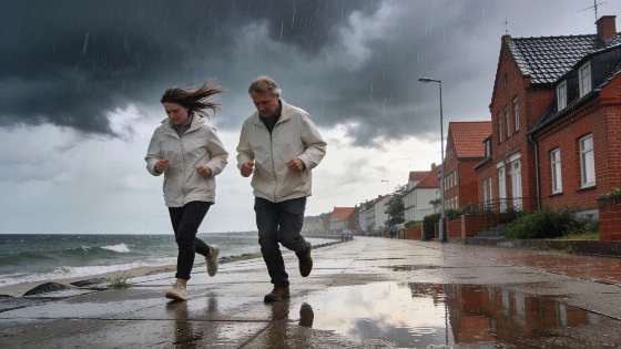
Afternoon weather in Mecklenburg-Vorpommern is turning unsettled, with thunderstorms and sharp showers expected to move through the region. The German Weather Service (DWD) has issued warnings for rapid changes, as temperatures stay between 18 and 20 degrees and winds shift from southwest to west. Gusts could reach 60 km/h, and in thunderstorms or exposed spots, winds may climb to 70 km/h. Along the Baltic coast, isolated storm gusts up to 85 km/h are possible.
Rain clouds moved east in the morning, but the main risk comes later in the day. Local downpours and brief thunderstorms may catch people off guard, especially as winds pick up in open areas. By evening, clouds and scattered showers are likely to continue. Temperatures will drop to around 9 degrees inland and 13 along the coast. Gusty winds may linger on parts of the Baltic shoreline. The DWD notes that coastal and island areas face higher risks as winds strengthen in these exposed locations.
In the broader North German context, DWD warned that between the North Sea and Mecklenburg, 20–35 liters of rain per square meter could fall within just a few hours, with some places seeing up to 50 liters per square meter.
Thursday should bring some relief as clouds break and drier air arrives. Highs will reach 17 to 19 degrees, but the wind will still blow from the west and northwest, sometimes gusty near the sea. Toward evening, winds are expected to ease, and the night should be clearer and dry, with lows down to 7 degrees away from the coast. DWD forecasts a calmer night into Friday, with lingering clouds and occasional showers, but rain should stop and winds will weaken as the night goes on.
Friday and Saturday look more stable. DWD expects mostly dry, partly sunny weather, with temperatures rising to 21 degrees inland and up to 22 on Saturday. Winds will turn lighter and southerly, giving a break from earlier gusts. Nights will stay mild, with lows between 10 and 13 degrees, and the risk of rain will be low at the start of the weekend. Meteorologists at DWD expect a shift to more settled weather after this period of instability.
Weather disruptions are common in northern Germany. Earlier this year, heavy rain forced school closures and stopped public life in Catalonia, as previously reported. While Mecklenburg-Vorpommern is not facing such extremes, the current forecast highlights how quickly conditions can change, especially in coastal communities where wind and water interact. The recent stretch of unstable weather is part of a larger pattern in northern Germany, with DWD issuing warnings for strong winds, heavy showers, and isolated thunderstorms across several districts in early September.
The DWD has emphasized that the current weather event is part of a larger wave of instability across northern Germany, where warnings for strong winds, heavy rainfall, and isolated thunderstorms have already been issued at the start of September. Coastal and island communities are particularly advised to remain alert due to the increased risk from wind and water interactions.
— DWD
For people living in or visiting the region, the next few days call for flexibility and attention to local updates. DWD's warnings are not routine: sudden changes can disrupt travel, outdoor plans, and daily routines. Along the Baltic, a calm afternoon can quickly turn stormy, so staying prepared is important. This week's weather is a reminder that Mecklenburg-Vorpommern's conditions can shift quickly, and keeping an eye on updates is the best way to avoid surprises.