A sharp deterioration in weather conditions once again threatens the usual rhythm of life in Spain. The shift in atmospheric fronts brings not only heavy rainfall and squally winds, but also a noticeable drop in temperatures, which will be felt particularly in the northern and central regions. Serious disruptions on the roads, transport delays, and new challenges for public services are expected in the coming days.
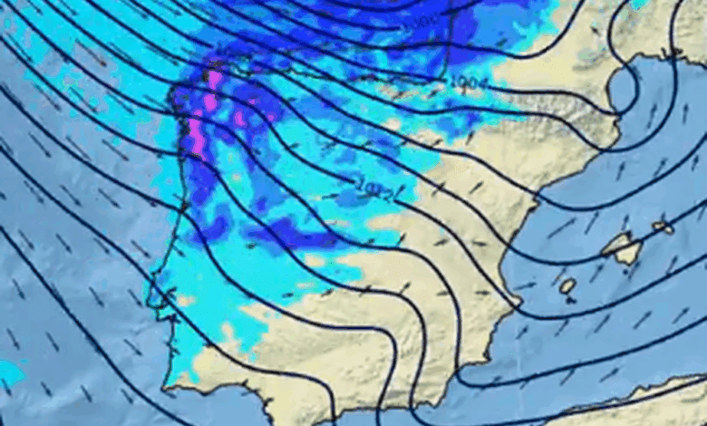
The consequences of previous storms have yet to subside, yet another Atlantic front is set to approach the country by midweek. Forecasts indicate that rainfall will once again cover the northern half of Spain on Wednesday and Thursday, while temperatures in mountain areas may drop low enough for snow to fall at elevations between 800 and 1,000 meters. This will create additional difficulties for drivers and may lead to temporary restrictions on mountain passes and secondary roads.
Wind and sea
A storm warning remains in effect for the coastal areas of Cantabria and the north of the peninsula due to strong winds and dangerous waves. While locals are accustomed to such phenomena, the current episode is marked by its particular intensity. In some parts of the east and northeast of the country, wind gusts in recent days have exceeded 120 km/h, prompting authorities to tighten safety measures and urge the public to exercise caution.
At the same time, the Canary Islands (Islas Canarias) are experiencing another wave of calima—a dust storm that reduces visibility and may affect people with respiratory conditions. Drivers and pedestrians are advised to be especially cautious, and residents should limit outdoor activities whenever possible.
Snow and ice
There is particular concern about the sharp drop in snowfall levels. Already on Wednesday night, new snowfalls are expected in the northern and central mountains, which may complicate travel on mountain roads and passes. Drivers are advised to plan routes in advance and follow updates on road conditions. Some areas may experience localized power outages and disruptions to public transport.
Meanwhile, thick morning fogs are likely in lowlands and valleys, which could also lead to traffic delays and accidents. Civil protection services are already on high alert, and local authorities remind everyone of the importance of following official guidelines.
Warm spell expected by the weekend
From Friday, meteorologists forecast a gradual improvement in weather conditions. Clouds will begin to clear and temperatures will start to rise. However, mornings will still see fog, especially in central and northern regions. Despite this, after a series of storm warnings and heavy rainfall, people across the country will finally get some relief.
Recalling recent events, it is worth noting that similar weather disasters have repeatedly led to serious consequences. For example, during a recent storm, when hundreds of roads were blocked and schools and institutions were forced to suspend operations, mass evacuations and the cancellation of classes in Andalucía became a necessary measure to ensure public safety.
In recent years, Spain has increasingly faced extreme weather events. Storms like the current one often result in power outages, transport paralysis, and temporary travel restrictions. In 2025, a similar situation occurred in Galicia and Asturias, where heavy rains and strong winds caused flooding and widespread power failures. Last year, in Catalunya and the Balearic Islands, there were also reports of port closures and flight cancellations due to adverse weather conditions. These episodes highlight the importance of timely information and being prepared to respond quickly to natural threats.