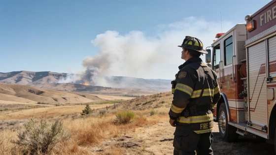
Authorities have issued a fire weather watch for Kittitas Valley, warning of heightened wildfire risk from Friday morning through Saturday night. The National Weather Service (NWS) in Pendleton, Oregon, announced the alert late Wednesday, citing gusty winds and very low humidity. It is scheduled to remain in effect from 11 a.m. Friday until 11 p.m. Saturday. The most volatile conditions are expected during the afternoon periods.
Residents should prepare for northwest winds of 10 to 20 mph, with gusts potentially reaching 30 mph, while relative humidity could fall to 14%. Breezy westerly winds funneled through Cascade gaps may coincide with the dry air, particularly Friday and Saturday afternoons. Overnight humidity is expected to recover only to poor or fair levels, allowing elevated fire potential to persist into the following day.
Regional NWS fire-weather forecasts illustrate how sharply conditions can dry during the day. One Pendleton spot forecast describes daytime relative humidity in the upper teens to low 20s. It gives southeast winds of 5 to 8 mph and ridge-top winds of 7 to 10 mph. The product says, “Dry conditions will persist over the fire area through the forecast period.” It also distinguishes daytime drying from overnight recovery, with humidity reaching the low-to-mid 40s in one forecast period. These regional figures are separate from the Kittitas Valley watch forecast, but show why low humidity and wind are closely monitored fire-weather factors.
The NWS forecast also tracks atmospheric mixing and ventilation, including transport winds, to describe how heat and smoke move through the atmosphere. One Pendleton spot forecast lists a mixing height of 2,900 feet above ground level and transport winds of 8 to 10 mph, with lower nighttime mixing. These conditions can change through the day, making afternoon periods more hazardous even when surface winds appear modest.
Officials are urging the public to avoid outdoor burning, warning that a fire could spread rapidly in these conditions. The NWS cites a 60% to 80% chance that the most dangerous “Red Flag” conditions will develop during the afternoons, when winds and dryness are expected to peak. A fire weather watch means critical conditions are possible; a Red Flag Warning indicates a higher-confidence forecast that critical conditions are occurring or imminent. Residents are advised to monitor official forecasts for updates and any change to the alert.
Fire weather watches give communities advance notice to take precautions. The current situation in Kittitas Valley mirrors recent weather extremes elsewhere in Europe, including the combination of record heat and severe storms that disrupted daily life in Switzerland, as reported in coverage of Western Switzerland's weather challenges.
Wildfire risk in the Pacific Northwest typically rises in late summer, when vegetation is dry and weather patterns favor windier conditions. Even a small spark can start a fast-moving fire in such circumstances, and local authorities may impose additional restrictions if the risk escalates. Residents should avoid activities that could ignite a fire. They should follow emergency-service instructions and watch for updates as the Kittitas Valley watch is reassessed.