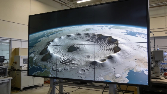
NASA has released a striking visualization of Earth's geoid, highlighting subtle gravitational variations. The model, based on satellite data, challenges the idea of a perfectly round planet. Its exaggerated features reveal hidden details of Earth's mass distribution.
NASA has published a new visualization of the Earth's geoid, offering a rare look at how the planet's gravity field actually shapes the theoretical sea level. Unlike the familiar globe, this model exposes a landscape of invisible hills and valleys, making clear that Earth's surface is far from uniform when measured by gravity alone.
The image, produced by the Goddard Space Flight Center using the GOCO06s gravitational model, has quickly gained attention online. While some have mistaken it for the planet's physical outline, the visualization is a scientific tool: it shows how the ocean would appear if only gravity determined its level, with no influence from tides, winds, or currents. To make these differences visible, NASA amplified the vertical variations by a factor of 10,000. In reality, the actual deviations are just a few dozen meters—barely noticeable on a planetary scale.
What stands out in the geoid model are the subtle rises and dips, which correspond to variations in Earth's gravitational pull. These are not random: they reflect the uneven distribution of mass within the planet, from dense rock formations to regions with lighter materials. Areas with more mass, such as those near Iceland, show gravitational 'hills' up to +85 meters, while regions like southern India display 'valleys' reaching −106 meters. Without the model's exaggeration, these features would be almost impossible to detect.
From a geodetic perspective, the geoid is an equipotential surface—essentially, the hypothetical level the oceans would reach if they covered the entire planet and remained perfectly still. This makes it a crucial reference for understanding how gravity is distributed across the globe. The GOCO06s model, developed through the Gravity Observation Combination project, draws on over a billion measurements collected over 15 years. Data from NASA's GRACE satellites and the European Space Agency's GOCE mission were key to mapping these minute gravitational differences with high precision.
Scientists often compare the geoid to the mathematical ellipsoid, a much simpler and smoother model used for mapping and calculations. While the ellipsoid provides a convenient average shape, it ignores the real gravitational variations that the geoid captures. For applications in topography, navigation, and Earth observation, the geoid offers a far more accurate baseline.
Despite its unusual appearance, the geoid does not mean the Earth is shaped like a 'potato,' as sometimes claimed on social media. Instead, it visualizes the invisible forces that subtly influence everything from sea level to satellite orbits. By making these differences visible, NASA's model helps researchers better understand the planet's internal structure and provides a foundation for more precise scientific work.
For context, the concept of the geoid is central to modern geodesy and navigation. Accurate knowledge of the geoid is essential for satellite positioning systems, sea level monitoring, and even engineering projects that require precise elevation data. As satellite technology advances, models like GOCO06s continue to improve, offering ever more detailed insights into Earth's hidden gravitational landscape. This work not only deepens scientific understanding but also supports practical applications in mapping, construction, and environmental monitoring worldwide.