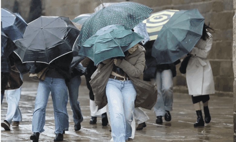
A storm warning has once again become a reality for millions of residents in Spain. Thirteen autonomous regions are under threat due to a sharp deterioration in weather conditions. Strong winds, powerful waves, and snowfalls could disrupt transportation, cause accidents, and result in temporary power outages. The situation is expected to be especially challenging in the north of the country, where the weather is already impacting daily life.
The North Under Threat
Waves several meters high will hit the coasts of Galicia, Asturias, Cantabria, and País Vasco. An orange alert level has been declared in these regions. Local authorities warn of risks to shipping and coastal communities. In some areas, flooding and infrastructure damage are possible. The first cases of fallen trees and disruptions at ports are already being reported along the coast.
Inland areas will not be spared either. Storm-force gusts are forecast for Castilla y León, as well as parts of Andalucía and Castilla-La Mancha. In certain provinces, train services may be suspended and some roads closed. Snowfalls are expected in the mountains, which could make travel difficult and lead to ice formation.
Wind and Snow
Winds will strengthen not only along the coast but also inland. In the provinces of León, Burgos, Salamanca, and Segovia, gusts are expected that could damage power lines and house roofs. Warnings have also been issued in some areas of Andalusia, such as Almería and Granada, due to strong winds. Snowfall is possible in the northwestern regions, especially in the mountains of Asturias and León, where the snow cover may increase rapidly.
Forecasters note that snow will fall at altitudes between 1,200 and 1,500 meters, dropping to 900 meters by evening in the far north. In the Pirineos, light frosts are expected, which may pose extra challenges for drivers and residents of mountain villages. Brief thunderstorms are possible in some areas, bringing even more precipitation and intensifying the wind.
Clouds and fog
Thick clouds and low visibility will be an issue for the south and northeast of the country. In Andalusia, dense morning fog is possible, while Galicia and Cantabria will see frontal rains and haze. In the east and southeast, as well as on the Islas Baleares, skies will remain mostly clear throughout the day. The Islas Canarias are forecast to have mostly clear weather, but a light dust haze is possible.
Air temperatures will drop in most regions. The exception will be the eastern areas of Cantabria, the Pirineos, and the northeast of Cataluña, where daytime highs will rise slightly. The lowest temperatures are expected in Ávila, where at night the thermometer will fall to 1 degree.
Gusts and consequences
Westerly and southerly winds will prevail across most of the peninsula and the Balearic Islands. Particularly strong gusts are expected along the northwest coast and in the Mar de Alborán area. Throughout the day, winds will also pick up in the east and in the Pyrenees. In the Canary Islands, strong trade wind gusts are possible in some areas.
In recent years, Spain has been facing such storms more and more frequently. Early last year, a similar cyclone caused widespread power outages and the temporary closure of ports in Galicia and Cantabria. In some regions, residents of coastal homes had to be evacuated. Meteorologists point out that these weather events are becoming increasingly common and unpredictable, requiring local authorities and residents to be especially prepared for emergencies.