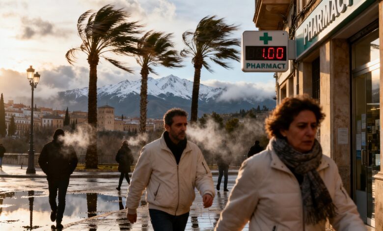
On Friday, much of Spain is expected to see a sharp drop in daytime temperatures: in several regions, maximum values will plunge by 6–12 degrees compared to Thursday. This sudden change is linked to the formation of a DANA—an isolated pocket of cold air, which by Friday evening will begin to affect the weather in the center and south of the country. According to RUSSPAIN, millions of residents will be impacted by these changes, with a noticeable chill even in areas that just the day before saw temperatures above 30 ºC.
Where and how much will it get colder
The most noticeable temperature drop is expected in Andalusia, Madrid, Castile and León, Castile-La Mancha, and the Basque Country. The interior regions of Andalusia, especially the province of Granada and neighboring areas, will see maximum temperatures fall by 10–12 degrees. In Granada, only 18 ºC is forecast for Friday; in Seville and Huelva—21 ºC; and in Córdoba—22 ºC. In Murcia and Albacete, thermometers won’t rise above 17–18 ºC, and in Alicante—around 20 ºC. In the Guadalquivir valley, where temperatures were recently over 30 ºC, the mercury will drop to 20–23 ºC.
Causes of the change and weather risks
The main factor is the change in air masses: the subtropical flow that brought the heat is giving way to cooler polar air. The formation of a DANA is accompanied by increased cloud cover, stronger winds, and localized downpours. In the eastern and southeastern provinces, including Murcia, Alicante, and Almería, strong onshore winds are expected. The national meteorological agency AEMET has already issued high wave warnings for the coasts of these regions. Unlike the typical spring cooling, this time the main driver of the temperature drop will be the wind, not thunderstorms.
When the warmth will return
The cold spell will be brief: temperatures will begin to rise rapidly as early as Saturday. In the Ebro, Guadiana, and Guadalquivir valleys, temperatures are expected to climb back to 25–27 ºC, and on Sunday up to 29 ºC in Zaragoza and 27 ºC in Ourense, Badajoz, and Seville. By Monday, the heat will return completely, with forecasts for 30 ºC in Zaragoza and Seville by midday. Thus, the temperature contrast between Friday and early next week will be at its peak.
Context and other changes
Sharp weather changes in Spain in recent weeks have been accompanied by other news related to safety and changing regulations. For example, there was recent discussion about the V-16 beacon situation, when millions of drivers were left in the dark due to new requirements. More about the challenges in implementing new road standards can be found in the article about issues with informing drivers and manufacturer requirements.