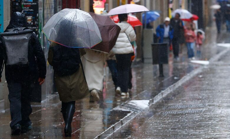
Sunday, December 21, will bring true winter weather to Spain. From early morning, residents of the northern and eastern regions will notice a significant drop in temperatures. Meteorologists warn that throughout the day, air temperatures will steadily decrease, with some areas seeing thermometers fall to their lowest levels in weeks. Snow will start falling from the early hours, especially in mountainous regions and higher elevations, where snow cover could accumulate quickly.
The central part of the country and the coast will also see precipitation. Clouds will cover the sky, and as temperatures drop, rain will turn to snow. In some places, especially in Galicia and northern Castilla y León, snow may fall even at elevations of 700–800 meters above sea level. In the eastern and southeastern regions, including the mountain areas of Andalucía, the snow line will drop to 1300–1500 meters, and even lower by evening.
Snow fronts
A frontal system moving in from the northwest will bring not only snow, but also strong gusts of wind. These will be especially felt along the Atlantic coast and in the Pyrenees mountains. These areas are expected to see heavy snowstorms, and road visibility may drop sharply. In some parts of southern Andalucía, precipitation will be especially intense, potentially causing temporary disruptions to road traffic and public transport.
Cloud cover will persist across nearly the entire country throughout the day. The heaviest snowfall is forecast for the northern and eastern mountains, as well as around the Alto Ebro and the northern Meseta. In these areas, snow accumulation may increase within just a few hours. Fog and frost are possible in lowlands and valleys, especially in the morning.
Weather across the islands
Unstable weather is also expected in the Balearic Islands. Brief showers are anticipated, and winds will strengthen to moderate or even strong levels in some coastal areas. In the Canary archipelago, cloudiness will vary, and short periods of rain are possible in the mountainous northern islands. In the rest of the archipelago, rain is unlikely, but a cool wind will be a reminder of winter.
Air temperatures in the Canaries will remain relatively stable, with no sharp changes. However, nighttime frosts and light snowfalls are possible in the mountains. Winds on the islands will mainly blow from the northeast, bringing coolness and humidity.
Winds and frost
Most regions of mainland Spain can expect westerly and southwesterly winds. On the coast and in the mountains, gusts may reach storm strength, especially in southern provinces. The country’s interior will experience moderate winds, which will increase the feeling of cold. In some areas, especially in the mountains, severe frosts and icy conditions are possible.
Minimum temperatures on this day will drop almost everywhere, except for the western edges of the country. In the northern and central regions, nighttime frosts will become common, and in the mountains, the cold may be quite severe. During the day, temperatures will rise only slightly, and in some areas, highs may barely climb a few degrees above zero.
Overview
Overall, December 21 will bring truly wintry weather to Spain. Snow, rain, strong winds, and a sharp drop in temperature will affect most of the country. Residents are advised to be cautious on the roads, especially in mountainous and northern areas, where conditions can change rapidly. In the coming days, forecasters warn of possible further deterioration and new cold waves.