In December 2025, Spaniards traditionally plan short trips and family gatherings to coincide with the holiday season. However, this year the weather is set to bring its own changes: much of the country will experience unsettled conditions that could impact the plans of many residents and tourists.
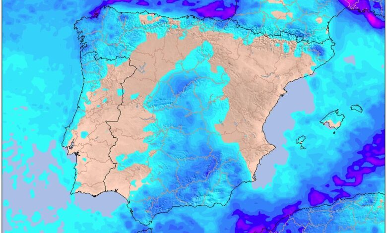
Over the coming days, the Iberian Peninsula and the Balearic Islands will remain mostly cloudy. Atlantic fronts will bring rain—particularly noticeable in the north and northwest. Galicia and the eastern coast of Cantabria may see downpours with thunderstorms and even hail. In central and southern regions, precipitation will be lighter, while on the Pitiusas islands and along the Mediterranean coast, the chances of rain are minimal.
Snow and fog
In the northern mountains, snow will begin to fall from elevations of 1,300–1,600 meters, while in the Pirineos the snow line could drop to 1,000 meters. By evening, it will rise above 2,000 meters. Brief snowfalls are also possible in central and southeastern mountain ranges. Morning hours in Galicia and mountainous areas will be marked by thick fog and haze, complicating travel on the roads.
The situation will be different in the Islas Canarias: cloudy weather is expected, with occasional brief showers and light dust haze in some areas. However, rainfall will be rare on most of the islands, and temperatures will remain comfortable for vacationers.
Warmer weather and changes
Saturday will bring gradual improvement in the weather, though the influence of Atlantic fronts will still linger. Most regions of the peninsula will remain overcast, but there will be breaks in the clouds over the Baleares and the Mediterranean provinces. The southern part of the country will be the first to feel the approaching anticyclone, leading to clearer skies and drier weather.
Nevertheless, Galicia will again be in the spotlight: prolonged rain is expected here, especially along the western coast. In the northwest and central areas, precipitation will be less intense, and in the east and south of the country, little to no rain is expected.
Sunday and Monday
On Sunday, the weather pattern will remain largely unchanged. Galicia will once again start the day under rain, and Cantabria and neighboring regions may see brief showers. In other parts of Spain, calmer and milder weather will prevail, with variable cloudiness and moderate temperatures.
Monday, December 8, will mark the end of the holiday period. On this day, rain is expected only in Galicia, while light precipitation may occur in Castilla y León and the northwest of Extremadura, caused by low clouds and fog. In the afternoon, a new front is likely to approach, once again bringing heavy rain to Galicia and possibly affecting other northwestern regions.
Temperature surprises
During the holiday period, air temperatures in Spain will gradually rise. Atlantic air masses will bring milder conditions, and nighttime frosts will retreat. Daytime temperatures will climb above average for December, although thick cloud cover will prevent record highs. The warming will be especially noticeable in central and southern regions.
Minimum temperatures will also change: thanks to clouds and warm air, nights will be less cold, and mornings more comfortable. However, light frosts will persist in mountainous areas and highlands, especially at the beginning of the period.
Weather risks
Drivers and travelers should be aware of frequent fog, which is expected in the southern half of the country, as well as in Galicia and the northern mountains. Morning hours can be especially hazardous due to limited visibility on the roads. In the mountains, the risk of ice and snowdrifts remains, which is important to consider when planning trips.
Overall, December holidays in Spain will be marked by changeable weather: from rain and snow to unexpected warm spells and heavy fog. Residents and visitors alike should be prepared for any surprises from nature and keep a close eye on forecasts.