A cold Atlantic front brings an end to Spain’s heatwave, but storm alerts are now active in the north and Galicia. Several regions still face high temperatures, with some areas reaching up to 39°C.
Spain’s prolonged heatwave is coming to an abrupt halt as a mass of cooler Atlantic air sweeps across the peninsula, triggering storm warnings in the north and Galicia. According to the Agencia Estatal de Meteorología (Aemet), while the intense heat is subsiding in most regions, six autonomous communities in the northeast and the Balearic Islands remain under high temperature alerts this Thursday. In parallel, heavy rain and thunderstorms are expected to impact Galicia and the Cantabrian coast, prompting additional weather advisories.
Heat warnings are in effect for Huesca, Teruel, Zaragoza, Mallorca, Ibiza, Formentera, Barcelona, Girona, Lleida, several zones in Navarra, Guipúzcoa, Vizcaya, and the Ribera del Ebro in La Rioja. Meanwhile, storm and rain alerts cover the western and southwestern coast of Asturias, all four Galician provinces, the Cantabrian mountains in León, northern Burgos, and Vizcaya. The arrival of the Atlantic air mass from the west is expected to mark the definitive end of the recent heatwave, as noted by Aemet.
Most of Spain will see clear skies, but the northwest will experience overcast conditions with locally intense showers and thunderstorms. By afternoon, convective clouds are forecast to develop, especially in the far north, bringing hail and strong downpours to the Cantabrian region and the upper Ebro valley. There is also a chance of storms in the Iberian system, the Pyrenees, and other inland areas.
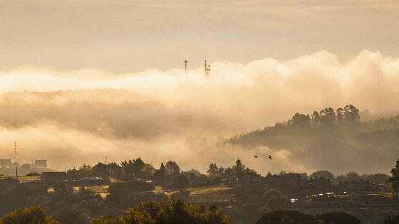
In the Canary Islands, the north will see intervals of cloud, while the south remains mostly clear. Morning fog or mist is likely in the Cantabrian area and Galicia. Temperatures are set to fall sharply across much of the peninsula, with the most significant drops in the interior and the Cantabrian region. The eastern third will see a less pronounced decrease, and minimum temperatures will also dip slightly in that area.
Despite the general cooling, maximum temperatures of 34–36°C are still expected in the Ebro valley, eastern parts of the southern plateau, the Balearic Islands, and some eastern regions. In isolated cases, highs could reach 38–39°C. Tropical nights—where temperatures remain above 20°C—are forecast for central-southern areas, the Ebro, and Mediterranean coastal zones.
Winds will generally be light to moderate, with a southwesterly flow in the Atlantic regions, northwesterly in the Cantabrian area, and southeasterly in the eastern third. Coastal areas will experience breezes, while the Strait of Gibraltar and Alborán will see moderate westerly winds, occasionally strong. In the Canary Islands, moderate winds from the north and east are expected.
Spain’s weather patterns are increasingly marked by abrupt shifts between extreme heat and sudden storms. According to Aemet, such rapid transitions can complicate planning for agriculture, tourism, and daily life. The country’s diverse geography means that while some regions face severe storms, others may still endure high temperatures. In recent years, Spain has experienced more frequent episodes of both heatwaves and intense rainfall, highlighting the growing volatility of the climate across the peninsula.