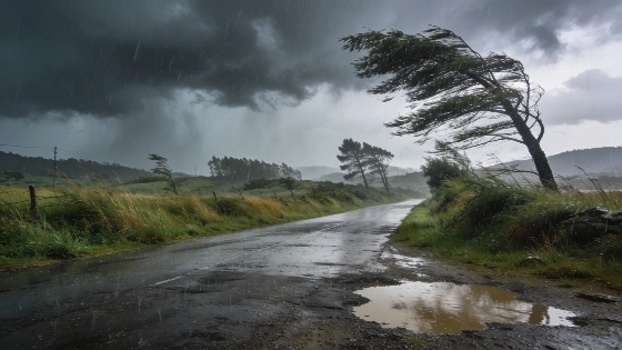
Catalonia, Comunidad Valenciana and the Balearic Islands face a surge of violent storms and torrential rain this week. Emergency alerts are in place as meteorologists warn of possible flash floods, hail and damaging winds from Wednesday through Friday.
Authorities have issued emergency warnings across Catalonia, Comunidad Valenciana, and the Balearic Islands as meteorologists forecast heavy rain and severe storms, with more than 100 mm expected in just a few hours. The risk of flash floods is immediate, and orange alerts are now active in the most vulnerable areas. The Spanish meteorological agency AEMET says these warnings are part of a broader response to a Mediterranean storm corridor affecting much of eastern Spain.
The main driver is a strong Atlantic trough moving into eastern Spain, where it meets unusually warm, humid Mediterranean air. This combination is expected to trigger intense storms, especially from Wednesday to Friday. The northeast of Catalonia, interior Castellón and Valencia, Teruel, and Mallorca are among the areas at highest risk. In some parts of Catalonia and the Balearic Islands, rainfall could exceed 100 liters per square meter in just 3–4 hours, raising the risk of flash flooding and rapid water buildup.
In early September, authorities in Catalonia suspended classes in several comarcas and restricted mobility due to exceptionally heavy rainfall, underscoring the seriousness of the current weather scenario.
Forecasts show rainfall could reach 30 to 40 mm in a single hour and up to 80 to 100 mm within two to three hours in the hardest-hit areas. Large hail and damaging wind gusts are also possible. Orange warnings are in place for the Pyrenees of Girona, Barcelona, Gúdar and Maestrazgo in Teruel, and the entire province of Valencia. Yellow alerts cover parts of Aragón, Castilla-La Mancha, Murcia, Granada, Almería, and Mallorca. Reports from EFE and Infobae note the added risk of hail, strong winds, and coastal events like rissagas, especially in the Balearic Islands.
Storms are expected to continue overnight in eastern Catalonia and Comunidad Valenciana before moving east toward the Balearic Islands. By Thursday, the heaviest rain will shift to the Balearics, with the north of Mallorca and the Pitiusas (Ibiza and Formentera) at particular risk. Rainfall here could top 40 to 50 mm in just one hour, prompting more orange alerts. While the intensity may drop later in the day, new storms are likely to develop over Comunidad Valenciana, Murcia, and eastern Andalucía. Several agencies point out that the rapid, short-lived nature of these downpours makes them especially dangerous for flash flooding, a point repeated in official updates.
AEMET and other agencies stress that this is not just a rain event, but a period of pronounced atmospheric instability with the potential for sudden flooding, hail, strong winds, and hazardous sea conditions. The affected areas include Barcelona, Girona, Valencia, Mallorca, Ibiza, Formentera, and coastal zones of eastern Spain, with orange and yellow alerts in effect from September 9 to 16.
AEMET
On Friday, the last of the Atlantic trough will linger over the northeast, with instability slowly decreasing. Still, the risk of heavy showers and storms remains, especially in the eastern Cantabrian region, the Pyrenees, and Mediterranean provinces. In the Balearics, another round of heavy rain is possible in the morning, especially for Ibiza, Formentera, and later Mallorca. New downpours are also expected in northeastern Catalonia, much of Comunidad Valenciana, Murcia, and the eastern Andalusian sierras.
For residents and local authorities, the risks are clear: rapid flooding, dangerous driving conditions, and possible property damage. Emergency services are on high alert, and the public is urged to follow official updates and avoid unnecessary travel in affected areas. AEMET and Protección Civil advise everyone to stay vigilant and follow safety recommendations, as conditions can change quickly.
This episode highlights how vulnerable Mediterranean Spain is to sudden, severe weather, especially when warm sea temperatures increase atmospheric instability. While the worst may pass by the weekend, the scale of the alerts and the speed of changing conditions mean the situation remains serious. The next few days will test the region’s readiness for extreme weather, with the outcome depending on both local response and the weather itself.