
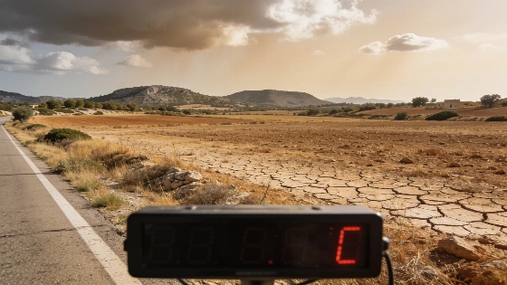
Granada faces a yellow alert for storms and rain this Thursday, with forecasts calling for a sharp drop in temperatures and unsettled skies. Residents should expect a quick change from calm mornings to afternoon showers and possible thunderstorms.
Granada is set for a sudden change in weather as the Agencia Estatal de Meteorología (AEMET) issues a yellow alert for storms and rain on Thursday. The warning focuses on the Cuenca del Genil area, where a clear start to the day will give way to unsettled skies and a noticeable drop in temperatures. According to AEMET, this alert is part of a larger pattern of unstable weather affecting much of Andalusia and eastern Spain.
The day will begin with only a few clouds, but conditions are expected to shift quickly after 6:00 a.m. By afternoon, showers and storms are likely, with only high clouds lingering by evening. There may be a brief dry spell in the morning, but drizzle is forecast to return later, and thunderstorms are possible both before and after midday. Highs will fall sharply, reaching just 29 degrees around 4 p.m., while lows will stay near 16. Light southwesterly winds will add to the unsettled feel. In the yellow alert zones, up to 15 mm of rain could fall in just one hour, according to several independent summaries of AEMET data.
Friday is expected to bring more of the same. Cloud cover will increase early, and rain is likely after midday. Temperatures will stay similar to Thursday, with lows around 16 degrees, keeping the cool, damp pattern in place. Independent forecasts suggest the rain could last at least two days, with showers and unstable weather continuing into Friday afternoon.
The weekend is unlikely to bring a return to typical summer weather. Saturday will be cloudy with light rain, and Sunday should stay cloudy but mostly dry. Temperatures will rise slightly, with highs reaching 31 degrees at the start of the weekend and lows dipping to 15. Winds are expected to be calm, so humidity will likely linger. National weather reviews for September 17 describe the situation as a sharp shift from clear morning skies to an unstable afternoon with more clouds and thunderstorms.
AEMET
Other towns in the region are also preparing for unsettled weather. Jaén will have variable skies, with clouds thickening and light rain possible from midday. Temperatures there will range from 19 to 29 degrees. In El Ejido, the day will start with patchy clouds, turning to heavier cloud cover and light rain in the afternoon, with temperatures between 20 and 29 degrees. Across much of the area, dry mornings and wet afternoons are expected to repeat.
Forecasts for other cities—including Málaga, Torremolinos, Linares, Almería, Benalmádena, Oria, Albacete, Santiago de Compostela, Jerez de la Frontera, Sevilla, Santa Lucía de Tirajana, Estepona, Torrevieja, and Teruel—suggest similar instability, though details may change as AEMET updates its bulletins.
These forecasts, based on data from the Agencia Estatal de Meteorología, show how unpredictable summer weather can be in southern Spain. Residents and visitors will need to stay flexible and keep an eye on local alerts as the region deals with a sudden break from the usual heat. Staying informed is key for anyone planning to be outdoors in the coming days.