
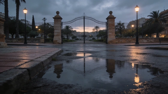
Granada is set for a sudden bout of intense rain, with the State Meteorological Agency activating a yellow alert. The warning covers the capital and much of the province, with storms likely to disrupt daily routines for 48 hours.
The State Meteorological Agency (Aemet) has placed Granada and most of its province under a yellow alert for heavy rain, signalling a sharp change in weather. Only the coastal areas are excluded from the warning, which is expected to disrupt daily life from Friday afternoon as intense downpours and storms move in.
Aemet forecasts a 40% to 70% chance that rainfall could reach up to 15 mm per hour—enough to trigger localised flooding and hazardous driving conditions. The alert is active from 14:00 to 20:00 on Friday, though clouds may begin gathering as early as midday over the city and surrounding areas.
The meteorological situation is not limited to Granada: neighbouring Almería faces even higher alert levels, and the Balearic Islands have been under an orange warning, reflecting a broader pattern of unstable weather across eastern and southeastern Spain.
Residents in the Cuenca del Genil, Guadix, Baza, Nevada, and Alpujarras regions should be prepared for the worst of the storm. While the official risk level remains 'low', sudden, strong showers and thunderstorms are possible. The capital is expected to see the heaviest rainfall in the late afternoon, with similar conditions forecast for the rest of the province.
Despite the unsettled skies, temperatures are expected to remain steady. Highs will be around 30°C, with lows near 15°C. The rain will arrive without the typical drop in temperature that often signals a cold front, resulting in a humid and unstable atmosphere across the region.
Saturday is unlikely to bring much relief. While the morning may start dry, Aemet predicts rain will return by early afternoon, affecting nearly the entire province except the northwest. The capital and its metropolitan area are again expected to be hardest hit, with showers likely to continue until 20:00. Sunday should see a return to more stable conditions, though isolated weak showers may still occur.
According to several independent reports, this episode is part of a broader shift in Spain's weather, as Aemet had previously warned of a transition from hot, dry conditions to a wetter, stormier regime. The agency notes that the instability is expected to persist into Saturday, with gradual improvement forecast for Sunday.
This abrupt spell of wet weather comes after a period of relative calm in Granada. The timing—at the start of the weekend—raises concerns for residents and businesses, particularly those with outdoor plans or travel arrangements. With the risk of strong, short-lived storms, staying alert will be crucial to avoid disruptions and ensure safety.
Aemet's decision to maintain the yellow alert, despite the 'low' official risk, reflects caution in light of Granada's varied terrain and the potential for rapid changes in conditions. For now, the best approach is to stay informed, plan ahead, and take the forecast seriously.