Aemet has put the Canary Islands on alert for fast-moving storms, rain, and another wave of Saharan dust. High temperatures linger, but forecasts show sudden showers and strong winds could hit several islands.
Clear skies are about to vanish over the Canary Islands. The Agencia Estatal de Meteorología (Aemet) says rain and storms are on the way. The change is coming fast. Saharan dust—calima—will sweep back over the eastern islands and Tenerife. Visibility will drop. The forecast just got complicated.
Sunday brings a mixed bag. Most of the region will start with sun or just a few clouds. But the north sides of the mountainous islands are bracing for more cloud cover. La Palma could get weak, patchy rain in the morning. Central Tenerife might see isolated showers by afternoon. Calima will be thickest in the east and at higher ground. Other areas will see less dust, but it won't disappear.
According to RTVC, on Sunday, October 4, intervals of cloudiness and possible light drizzle are expected in the northern mountainous areas, with isolated showers not ruled out in the central peaks and northeast of Tenerife, while more noticeable calima will persist at altitude in the eastern islands.
Temperatures are holding steady or climbing. The southeast of Lanzarote and the interiors of Fuerteventura and Gran Canaria could hit 30–32°C. Some southern inland spots might reach 34°C. Northeast winds will blow along the coasts, sometimes picking up in open areas. Higher ground will get breezes from the east and south.
Monday won't bring much relief. Aemet expects clouds to come and go across the islands. The north may clear up around midday, but clouds will build inland on the mountainous islands. That means a chance of rain. Calima sticks around, especially at higher elevations in the east. Temperatures will barely change, maybe a slight rise. Winds stay light to moderate from the northeast on the coast, with southern breezes inland and up high.
Tuesday looks even less settled. Lanzarote and Fuerteventura will see high and mid-level clouds. There's a small chance of weak rain and isolated storms. The mountainous islands will get low clouds on the northern slopes and more clouds inland. Northern Tenerife and the peaks of Gran Canaria could see scattered showers and storms. La Palma might get brief downpours. Calima is still a problem, especially in the middle and upper elevations. It could even reach low-lying parts of Lanzarote and Fuerteventura. Maximum temperatures will drop a bit in the eastern islands and central highlands. Winds will keep up their moderate northeast pattern on the coast, with lighter, shifting breezes inland.
Regional media confirm that La Palma has been the main epicenter of rainfall in this series of forecasts, with more persistent and locally intense precipitation reported at the start of October, while other islands experienced only weak and isolated showers.
Each island faces its own mix. On Sunday, Lanzarote and Fuerteventura will be mostly clear, with calima at higher ground. Temperatures could reach 30–32°C, maybe 34°C in the south. Gran Canaria's north will see clouds that clear by midday. The south and interior will heat up, and calima will affect the middle and upper elevations. Tenerife's north has a slim chance of early rain, then clearer skies, but afternoon showers could hit the northeast and central peaks. La Gomera, La Palma, and El Hierro expect clouds, light calima, and moderate northeast winds. Southern lowlands could see highs near 30°C.
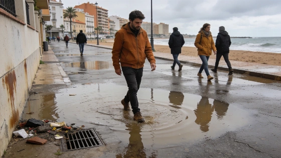
Spain as a whole is on alert for severe weather. Aemet has issued red-level warnings for rain and storms in several regions. The pattern is unstable. The Canary Islands aren't always the center of these alerts, but sudden weather changes are nothing new here. As earlier reports have shown, other parts of Spain have faced heavy rain and disruption in recent days. The season is unpredictable.
People living in or visiting the islands need to stay alert. Weather can flip from sun and heat to rain and dust in hours. Calima and storms could disrupt daily life. Even normal routines might not hold. In the Canary Islands, weather can turn on a dime. Preparation is key. With Aemet's warnings and unstable patterns spreading, staying vigilant is a must for anyone on the islands this week.