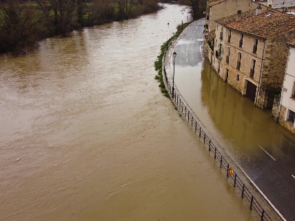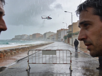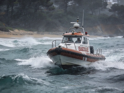
Rainfall has pushed the highest warning level toward Catalonia, with Barcelona recording around 100 litres per square metre in one hour. Renfe suspended several services as flooding risks grew across the region.
At about 8am, around 100 litres per square metre fell in Barcelona's prelitoral area in barely one hour. Aemet then activated a red alert there. The weather emergency had moved north and was centred on Catalonia.
The warning covers an immediate flood risk. It is not only a forecast for Tarragona. The alert remains active until midday. Rainfall could exceed 90 litres in one hour and 150 litres over three to six hours.
Red is the highest level on the three-tier scale. Local flooding is possible. Storms may also bring large hail and exceptionally strong gusts.
At around 10am on 29 September, Protecció Civil sent an ES-Alert to Alt Penedès, Anoia and Baix Llobregat warning of a risk of sudden flooding during the following three hours.
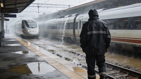
Rail disruption followed quickly. Several high-speed services were suspended between 9am and 11am. A number of medium-distance trains were also affected as the heaviest rain reached routes in and around Catalonia.
Renfe said the disruption involved AVE, Avant, Euromed and Media Distancia services. Speed restrictions were imposed on several Rodalies lines.
Travel was hit hard.
Barcelona was not the only area under pressure. Aemet recorded 39 litres in Turís in Valencia, 34 in Pontons and 33 in Vilafranca del Penedès, both in Barcelona province.
The Valencian Community warning issued earlier in the day has been lifted. The eastern interior of Valencia and Castellón could still receive more than 40 litres in one hour or 80 litres over three to four hours during the early hours of the 29th.
Meteocat had also raised its danger level to rojo, or 5 out of 6, for several Catalan areas. The agency warned of more than 40 litres in 30 minutes and up to 90 litres in three hours.
The rail restrictions extended beyond high-speed services: speed limits were reported on the R2 Sud, R2 Nord, R3, R4 and R8 Rodalies lines. Despite the severe local conditions, Protecció Civil had not announced territory-wide mobility restrictions or a general suspension of classes in Catalonia at that stage.
Rubén del Campo, an Aemet spokesman, said unstable weather would continue across Catalonia. Local showers could become very heavy, and the risk of sudden flooding would return.
Strong winds could bring down branches, trees and objects in exposed areas. Aemet also warned that a tornado or waterspout could form along the Catalan coast.
The danger is wider than rain.
Civil protection authorities and Meteocat listed rising watercourses, hail, strong winds and sudden flooding among the main threats.
Other parts of eastern Spain could see long downpours with hail and powerful gusts. Galicia faces a different pattern. A frontal system is expected to bring longer-lasting rain, especially to western and southwestern A Coruña. Totals there could reach 80 litres in 12 hours and cause some rises in watercourses.
The latest episode follows severe rainfall in Extremadura and the Valencian Community on Monday. Guijo de Granadilla in Cáceres registered 123 litres. Requena in Valencia recorded 73.
Flooding forced the evacuation of 16 people in Corte de Peleas in Badajoz. Extremadura's 112 emergency centre received 1,227 calls during Monday evening and night.
Castellón and Valencia recorded 24 incidents between 5.45pm on Monday and 8am on Tuesday. Most were in Requena and Valencia. The operational impact adds to the wider regional pressure described in the earlier report. Residents are dealing with immediate disruption while authorities respond to separate risks across the country.
The unsettled weather is expected to continue beyond Tuesday. On Wednesday, the front should move from west to east. Galicia, the Cantabrian communities, Castilla y León and northern Extremadura could receive abundant rain. Lighter rain may reach central and eastern Spain.
On Thursday, showers could again become strong in the Cantabrian area, the northeast and the Mediterranean coast.
Temperatures will move in opposite directions. Bilbao could reach 30 or 32 degrees on Tuesday. Seville and Murcia could reach 34. The north is expected to cool sharply on Thursday. Oviedo, León and Lugo may barely reach 18 to 20 degrees, compared with 33 in Seville, Córdoba and Murcia.
The risk area changed quickly. Tarragona had been expected to take the heaviest rain, but the warning shifted north after rainfall began in Barcelona.
Rail services were suspended. Emergency calls rose. Flooding was recorded across several regions. The disruption is already shaping transport decisions and emergency responses.