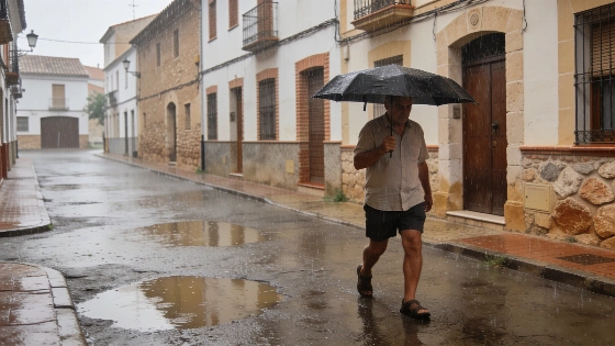
Aemet forecasts six days of possible rain in Castellón, mainly affecting inland areas. Showers will be irregular, with storms likely midweek. The coast will see more sun but remains at risk of scattered precipitation.
Castellón faces a rare stretch of unstable weather as the Agencia Estatal de Meteorología (Aemet) predicts rain somewhere in the province every day from Monday through Saturday. The forecast signals a break from the recent dry spell, with the most persistent showers expected in inland regions, while the coast will experience more variable conditions. This pattern follows a weekend marked by intense storms in Els Ports, where Morella saw 25 litres per square metre in a short period, accompanied by hail that blanketed streets and rooftops.
Saturday’s storm was particularly severe in the northern interior, with provisional Avamet data showing nearly identical rainfall totals—24.4 litres per square metre—in la Mata, Villores, Olocau del Rey, and Morella. Forcall and la Todolella also recorded significant precipitation. The event coincided with an orange alert from Aemet and disrupted local festivities, including Morella’s traditional paella contest.
Sunday brought a brief respite, with mostly clear skies and only isolated showers in the northern interior during the afternoon. Temperatures remained stable across the province, and the coast enjoyed more sunshine. However, the outlook quickly shifts as the week progresses.
Monday is expected to be the most settled day, with widespread sun and only a slight chance of weak, isolated showers in the northern interior during the afternoon. By Tuesday, instability increases, and rain symbols appear across much of the province, from the northern interior to central and southern areas. Some showers may even reach the coast, though rainfall is likely to be light and scattered.
Midweek, the risk of storms rises. On Wednesday, clearer conditions in the morning will give way to growing cloud cover and showers, especially in the interior. Thunderstorm symbols appear in the western part of the province, with the most active weather remaining away from the coast but potentially affecting central and northern zones.
Thursday’s forecast shows more widespread cloud cover and precipitation, again concentrated inland. The coast will see alternating clouds and clear spells, with less consistent rainfall. By Friday, the risk of thunderstorms becomes more pronounced, particularly in the west and northwest, while the coast remains less affected but not entirely dry.
The unsettled pattern is set to persist through Saturday, with Aemet’s forecast indicating continued rain, especially in the interior. The coastal areas will experience variable skies, with a higher chance of precipitation in the north. Compared to Friday, Saturday’s maps show more widespread rain and overcast conditions, while thunderstorm activity appears to decrease.
This extended period of instability in Castellón stands out against the backdrop of a typically dry August. Similar weather shifts have been observed in other regions, such as Bizkaia, where rain and cooler temperatures marked the start of August. For Castellón, the coming days will test local infrastructure and may impact outdoor events, especially in rural and mountainous areas where rainfall is expected to be heaviest.
Castellón’s climate is generally Mediterranean, with hot, dry summers and mild, wetter winters. However, the province’s interior, particularly in areas like Els Ports and Alto Maestrazgo, is more prone to summer storms due to its elevation and proximity to mountain ranges. Aemet’s forecasts are closely watched by farmers and event organizers, as sudden downpours can affect agriculture and local festivities. Residents are advised to monitor updates, as the precise timing and intensity of showers can vary significantly from one municipality to another.