A colder air mass will change Spain's weather on Sunday, 27 September 2026. Northern regions could see strong storms, hail and up to 15 mm of rain in one hour, while the Guadalquivir Valley may stay above 35 degrees.
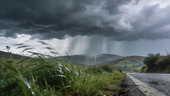
Yellow alerts will start at 17:00 on Sunday in Castilla y León, the Basque Country and La Rioja. Storms could bring hail to northern Castilla y León, La Rioja and the eastern Cantabrian coast later in the day. Rain and thunderstorms may continue through the afternoon and night.
An Atlantic front will move across Galicia, Asturias, La Rioja, the Basque Country and northern Castilla y León. Spanish and international forecasts point to the same setup. Cooler air is arriving at altitude.
The north and west face the roughest weather. Galicia and Asturias will stay under very cloudy or overcast skies. Rain is expected in the second half of the day, with locally strong precipitation in northwestern Galicia. Isolated thunderstorms are also possible.
Rain may last for much of the day in the northwest. Instability should increase across the northern half of the peninsula toward evening.
The official AEMET Meteoalerta system is designed for short-term hazardous-weather warnings covering periods of up to 72 hours, so alerts may be updated as the Atlantic front develops.
By the final hours of Sunday, showers and storms may reach northern Castilla y León, La Rioja and the eastern Cantabrian area. Some storms could be strong and bring hail.
Bizkaia interior has an official yellow thunderstorm warning from 18:00 to 00:00. Hail is listed as a possible hazard.
The timing matters. Conditions will turn more unsettled late in the day.
Temperatures will also shift. Maximum readings will rise in the eastern Cantabrian area but fall elsewhere. Galicia should see the sharpest drop.
Minimum temperatures will fall in the southeast and rise across most other areas. The Guadalquivir Valley in Andalusia could still exceed 35 degrees. Temperatures will also decline in the Canary Islands.
A colder air mass is moving into the north and west after a warmer spell. The south will keep a more summer-like pattern for now.
For parts of the Basque Country and La Rioja, forecasts indicate rainfall totals of up to 15 mm in one hour. The most unfavorable window is expected from 18:00 to 23:59, with hail also included among the possible hazards.
Cloud cover will vary across Spain. The Mediterranean coasts and nearby inland areas may see low cloud and mist. The Strait of Gibraltar and the Balearic Islands could see the same conditions.
Medium-level cloud will cover much of the rest of the mainland. The Canary Islands will have similar cloud bands and some high-altitude haze. Showers or isolated thunderstorms are possible on the western islands.
Wind will add another problem in the south. Levante winds will be moderate in Alborán, with strong intervals and occasional very strong gusts in the Strait and exposed parts of Cádiz province.
The Canary Islands should receive moderate easterly or northeasterly winds. The Balearic Islands will have moderate easterly winds.
Along the rest of the peninsula, breezes will prevail on the Mediterranean coast. Inland areas will mainly see moderate southerly winds. Winds will be variable in the Cantabrian region and Galicia.
The risks are uneven. Storms will focus on the north. Strong gusts are possible in the Strait. Heat may persist in the Guadalquivir Valley.
An earlier report covered a separate development in Madrid. Sunday's forecast instead puts weather risks at the centre of attention in several northern regions.
The following week should feel less like summer. Temperatures are expected to move toward levels considered normal for the start of autumn, although weekend readings will remain above the seasonal average.
AEMET describes Sunday as a transition day. Storms will not affect the whole country. The clearest immediate hazards will stay concentrated across northern Spain.
AEMET's seasonal outlook also says autumn 2026 may be wetter than usual in the northwest of the Iberian Peninsula, especially in Galicia and parts of Castilla y León.