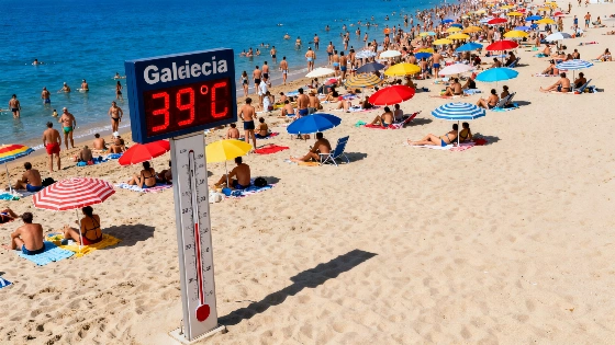
Powerful storms have swept across eastern and southeastern Spain, ending the heatwave with heavy rain, hail, and strong winds. Temperatures are set to fall sharply before rising again later in the week.
Spain’s long stretch of extreme heat came to an abrupt end as violent storms swept through the east and southeast. Cooler Atlantic air clashed with lingering heat, prompting meteorological warnings for heavy rain, hail, and damaging winds. The change was sudden: overnight, areas used to high temperatures faced hazardous weather instead.
By Tuesday evening, thunderstorms had already erupted from the eastern Pyrenees through the southern Massif Central and into the Alps, growing stronger as unstable air moved toward the center-east. Local officials in the north of the Alps and the Jura reported strong wind gusts, and hail was seen in several places. The Mediterranean coast and southeastern provinces are now on alert as the storm front shifts overnight.
On September 4, Spain matched its all-time September temperature record with 45.7°C recorded in El Granado, according to official AEMET data.
Overnight from Tuesday to Wednesday, the heaviest rain is expected to hit the Mediterranean and southeastern regions. Meteorologists warn that rainfall could build up quickly, raising the risk of flash floods in vulnerable areas. Hail and sudden wind surges are also possible, especially in communities still dealing with the recent heatwave’s impact on infrastructure.
On Wednesday morning, the storm system will linger over the Mediterranean and southeast, with heavy showers and thunderstorms likely into the afternoon. Most of the country should see calmer, cooler weather by late Wednesday. For many, this is a sharp reversal: after days of oppressive heat, temperatures will drop to more typical September levels, bringing some relief but also disrupting daily routines and travel.
This abrupt shift follows a pattern seen in other recent emergencies, where sudden changes have forced authorities and residents to adapt quickly. As reported earlier, rapid developments can strain local resources and test emergency response systems. Emergency services are now on standby, and residents are being urged to follow updates closely.
According to AEMET, orange weather alerts have been issued for Catalonia and the Valencian Community, with forecasts of up to 40 liters of rain per square meter in just one hour, as well as the risk of hail and very strong wind gusts. These warnings highlight the potential for sudden flooding and significant disruptions, especially in coastal and southeastern provinces.
Despite the strength of this cold front, forecasts suggest the break will be brief. By Thursday, high pressure is expected to return, and temperatures will gradually rise again through the end of the week. This cycle—intense heat, violent storms, then renewed warmth—shows how unpredictable Spain’s late-summer weather can be. While the immediate threat will pass, the country’s exposure to sudden weather swings is growing, and both authorities and the public are being urged to stay prepared.