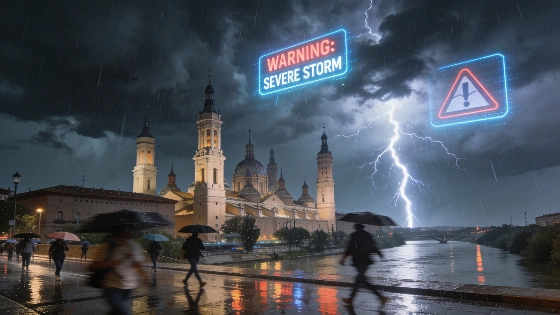
The State Meteorological Agency has activated a yellow alert for storms and rain in Zaragoza. Sunday will bring variable skies, possible downpours, and a drop in maximum temperatures. Residents should prepare for changing conditions.
Zaragoza faces a yellow alert for storms and rain this Sunday, as activated by the Agencia Estatal de Meteorología (AEMET). The warning covers the Ribera del Ebro area, where weather conditions are expected to shift rapidly throughout the day. Early morning hours will see mostly clear skies, but from 06:00, cloud cover will increase, bringing light drizzle that could intensify as the day progresses.
According to AEMET forecasts, the most significant rainfall and storm activity is likely between late morning and 18:00. While initial precipitation around midday is expected to be minimal—barely 0.1 liters per square meter—showers may become heavier and more persistent later. Thunderstorms are probable during the morning and could reappear in the afternoon, with storm conditions set to ease by early evening, though clouds will linger.
Temperatures in Zaragoza will also shift, with maximums dropping to around 35°C by 16:00, compared to recent highs. Minimum temperatures will remain above 22°C, with the lowest perceived temperature near 21°C. Light easterly breezes are forecast for Sunday, adding to the variability of the day.
Looking ahead, Monday is expected to bring intervals of cloudiness from the early hours until midday, after which skies should gradually clear. Temperature changes will be minor, with highs near 34°C and lows around 20°C. Winds will shift to a light northwesterly direction. By Tuesday, the forecast points to clear skies and no precipitation, with maximum temperatures again exceeding 34°C and only slight changes in minimums. Light northwesterly breezes will continue.
This period of unstable weather in Zaragoza follows a broader trend of shifting summer conditions across Spain. For example, the Madrid region recently experienced a sharp drop in daytime temperatures after a prolonged heatwave, as detailed in a recent report on the sudden cooldown in Madrid. Such fluctuations highlight the importance of monitoring official weather updates, especially during periods of heightened alert.
Weather data for Zaragoza is compiled using information from AEMET and other sources. All forecasts remain provisional and may be updated as new data becomes available. Residents are advised to stay informed about the latest warnings and to plan accordingly, particularly when outdoor activities are scheduled during alert periods. In Spain, yellow alerts indicate a moderate risk of adverse weather, which can disrupt daily routines but typically do not reach the severity of orange or red warnings. The Ribera del Ebro region, including Zaragoza, is known for its variable summer weather, with sudden storms not uncommon during the warmer months.