A northwestern DANA will bring rain and thunderstorms across much of Spain on Tuesday. Temperatures will fall across most of the mainland and the Canary Islands, while AEMET warnings cover several regions.
By early Tuesday, thunderstorms may already be forming across western Spain, south Galicia and areas near the central mountain system. A northwestern DANA is moving in from the west of the Iberian Peninsula. Colder air higher in the atmosphere is meeting warm, humid air from the Mediterranean.
Rain could become heavy in parts of the southwest and the Pyrenees. The strongest afternoon activity is expected in Extremadura, western Castilla-La Mancha, the central mountain system and the Pyrenees.
The risk is uneven.
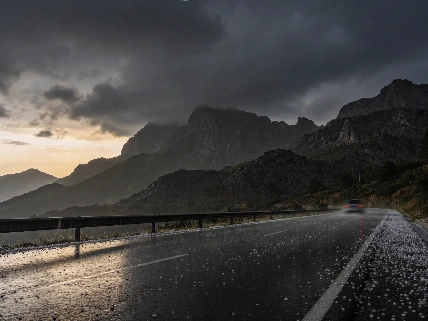
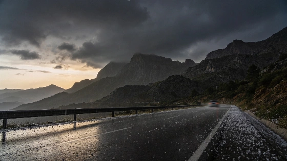
The west of the northern plateau, south Galicia and the central mountain system may see the most active weather. Thunderstorms could start in the early hours. Hail is possible in those areas, and the storms may grow stronger later in the day.
DANA is an isolated cold upper-level depression. Its interaction with warm, moisture-rich Mediterranean air can support strong, slow-moving thunderstorms.
Daytime temperatures will fall across most of mainland Spain and the Canary Islands. The drop will be more noticeable in parts of Andalusia, the southern plateau and the Rías Baixas. Overnight temperatures are also expected to fall in Andalusia and the Cantabrian mountain range.
Mountain weather will change quickly as rain and colder air move through. The episode began at the start of October. According to Spain's meteorological service AEMET, it was expected to last until Monday as colder air reached the middle and upper levels of the atmosphere and moisture continued to arrive from the Mediterranean.
Fog is likely in mountain areas, Galicia and the east of the peninsula. Light calima may reach the southeastern half of mainland Spain. It could bring muddy rain. Visibility may fall just as sudden showers develop.
Conditions can turn fast.
AEMET warnings for rain and thunderstorms on 6 October covered Aragon, Asturias, Castilla-La Mancha, Catalonia, Extremadura and Galicia. Yellow-level alerts were also issued for Andalusia, Madrid, Castilla y León, Navarra and La Rioja.
The Balearic Islands will have cloudy periods and only a small chance of an isolated shower. Fog banks may form, and calima could arrive with muddy rain. Earlier AEMET forecasts also showed a higher risk in eastern and northeastern Spain, the Balearic Islands, low-lying areas, stream channels and ramblas. Sudden flooding can develop in those places.
In the Canary Islands, cloudy periods will bring probable showers and thunderstorms to the eastern islands and inland parts of the mountainous islands. The strongest activity is expected in the midlands and higher areas. Calima will also be present there.
Winds will generally be light from the south and west across the peninsula and the Balearic Islands. The Strait of Gibraltar may see moderate easterly intervals. During the afternoon, westerly winds are expected along the Cantabrian coast. Southerly winds will affect the eastern seaboard. The Canary Islands will have light to moderate trade winds.
The most difficult conditions are likely after midday in areas close to the DANA's main activity. Heavy showers, hail and fog may affect travel at short notice. AEMET has urged residents to follow regional warnings and civil-protection messages.
An earlier political report described uncertainty in Spain's political system. This weather threat is different. It is local and physical.
Rainfall risks were expected to continue beyond Tuesday. Earlier forecasts for parts of the eastern coast indicated that more than 150 litres per square metre could fall in less than six hours. Some models allowed for totals above 100 millimetres in the region and locally 200 to 300 millimetres. Those estimates referred to a later eastern stage of the episode, not necessarily to 6 October.
AEMET also assessed that the DANA could remain west of the peninsula for several days. The most intense phase could arrive later around Barcelona and Girona. Accumulations there could exceed 200 millimetres in 12 hours.
RTVE.es is following the latest weather developments and Spain's forecast. The available forecast did not specify rainfall totals, so the risk is regional rather than uniform. Western inland areas, the central mountains, the Pyrenees and parts of the Canaries face the clearest threat of intense showers as temperatures fall across much of the country.
That distinction matters.
Local conditions will be more useful than a single national forecast because the DANA will affect regions unevenly.
On 5 October, the Spanish government reported that 78 municipalities were affected by a separate emergency situation. The figure included 75 municipalities in the Valencian Community, two in Castilla-La Mancha and one in Andalusia. The available information does not show that these cases were caused by the rain expected on 6 October. The figure should not be directly linked to this forecast episode.