The introduction of an innovative method for measuring object heights in Catalonia has become a significant event for everyone monitoring changes in the region’s urban and natural environments. Thanks to new technologies, it is now possible to accurately track changes in forests and buildings, enabling more informed decisions in ecology and urban planning. As El Pais reports, the research results have already influenced the understanding of tree growth dynamics and the development of urban areas.
The “LidarTeam” tool, developed by researchers from UAB and CREAF, provides digital elevation models with a resolution of up to two meters. This enables the analysis of not just individual objects but entire territories, revealing trends and anomalies in vertical development. Such an approach is especially valuable for Catalonia, where the landscape is highly fragmented, and the density of buildings and diversity of forests require precise data for monitoring changes.
Height records
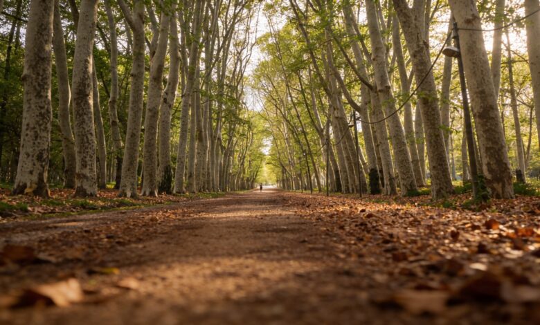
Using the new methodology, scientists have discovered that the tallest tree in Catalonia is a plane tree (Platanus sp.) in Devesa de Girona park, reaching 54.55 meters in height. This is approximately equivalent to an eighteen-story apartment building. The ranking of the tallest trees also includes specimens from Val d’Aran and Pla de l’Estany, where the average heights reach 13 and 12 meters, respectively. Among fast-growing species, firs (Abies alba) and beeches (Fagus sylvatica) stand out, gaining 27 and 24 centimeters per year.
In Barcelona’s urban districts, the highest average building heights are recorded in the Eixample and Sant Antoni areas—ranging from 22 to 23 meters. However, special attention is drawn to neighborhoods like Gòtic, Raval, and Sant Pere, where the average height of buildings is between 19 and 20 meters. Eight districts in Barcelona feature buildings exceeding 100 meters, including landmarks such as Torre de Collserola, Hotel Arts, and Sagrada Familia.
Technology and Data
The methodology is based on data obtained through airborne laser scanning (LiDAR) by the Cartography and Geology Institute of Catalonia. This technology makes it possible to collect billions of data points across tens of thousands of square kilometers—something that was previously almost impossible for geographic information systems. A key feature is the integration of data from other sources, such as satellite images and infrared aerial photography, ensuring high accuracy and minimizing errors caused by external interference.
To test the effectiveness of the method, three digital elevation models were created: two for the whole of Catalonia and one for the Barcelona metropolitan area. In total, 65,000 square kilometers were processed, with data analyzed for more than 5,000 buildings and 4,000 forest areas. This volume of information not only documents current figures but also makes it possible to track changes over different periods.
Practical Significance
The collected data opens new opportunities for assessing the vertical growth rate of forests, analyzing the impact of fires, and studying changes in land use. In addition, this methodology helps track how timber volume in forests changes and how it affects biodiversity. All results are available as open access through the free MiraMon software, which is used by more than 200,000 specialists across 41 countries. The system features a feedback option, allowing users to report errors and clarify data.
Interestingly, such digital tools are becoming increasingly in demand not only in Catalonia but also in other regions of Spain. For example, the recent launch of the online archive of the 1812 Constitution, which was covered by russpain.com, has also become an important step in the digitalization of historical and territorial data — details about the launch of a unique archive.
In recent years, Spain has seen growing interest in digital technologies for monitoring natural and urban changes. The introduction of LiDAR systems and open geoinformation platforms enables not only the identification of elevation records, but also the analysis of the effects of climate change, urbanization, and wildfires. These projects are becoming the foundation for decision-making in ecology, urban planning, and the preservation of natural heritage. Other regions of the country are also launching initiatives to create digital models of territories, which helps improve resource management and planning.